
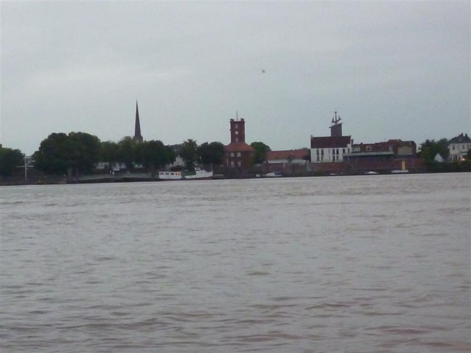

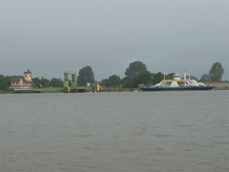
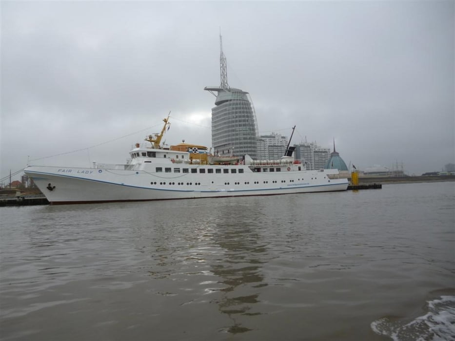
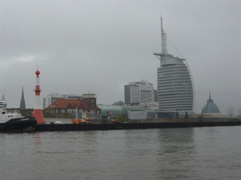
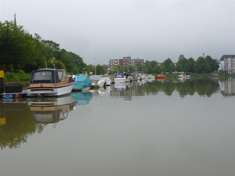
Enlang der Hunte und Weser in die Abenddämmerung Richtung Brake zum Nachtliegeplatz Harriersand mit Blick auf die "Skyline von Brake". 20:30 Uhr, schnell das Notebook an und Spanien gegen Portugal gucken. 03:30 Uhr hellwach, Käffchen und Start der Weiterfahrt Richtung Yachthafen Großensiel zum Frühstück. Es wird langsam hell aber ein fieser Nieselregen nervt ungemein, also nichts mit 30 Knoten sondern schön langsam den nichtvorhanden Sonnenaufgang genießen. Angekommen in Großensiel hörte es auch auf zu regnen und das Frühstück konnte beginnen. Noch eine Ehrenrunde durch den Großensieler Hafen und auf gings zur Sightseeingtour nach Bremerhaven. Fast vom Zollbbot bei der Einfahrt in die Geeste versenkt worden, heizen die da mit 30 Knoten und einer 2 Meter Hecksee aus der Einfahrt. Naja ist ja noch mal gutgegangen, außer einer leeren Kaffeemug ist nichts weiter passiert. Nun noch der Geeste folgend quer durch Bremerhaven zum Heimatliegeplatz.
Further information at
http://www.weser-pirat.de.tl/Tour gallery
Tour map and elevation profile
Minimum height -47 m
Maximum height 10 m
More about the tour author

|
Weserpirat |
Comments

GPS tracks
Trackpoints-
GPX / Garmin Map Source (gpx) download
-
TCX / Garmin Training Center® (tcx) download
-
CRS / Garmin Training Center® (crs) download
-
Google Earth (kml) download
-
G7ToWin (g7t) download
-
TTQV (trk) download
-
Overlay (ovl) download
-
Fugawi (txt) download
-
Kompass (DAV) Track (tk) download
-
Track data sheet (pdf) download
-
Original file of the author (gpx) download
More about the tour author
|
|
Weserpirat |
Add to my favorites
Remove from my favorites
Edit tags
Open track
My score
Rate