
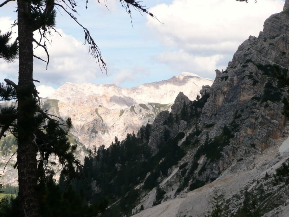

Die Dolomiten-Durchquerung beginnt auf einer schmalen Panorama-Nebenstraße bis Pederühütte, weiter auf Schotter über die Faneshütte hinauf bis zum Limojoch, auf Schotter gehts vorbei am wunderschönen Limosee zur Fanesalm in der folgenden Trailabfahrt (teils Schiebestrecke), dann technischer Pfad bis Capanna Alpina auf Trails/Karrenwegen/Schotter bis St.Kassian ab hier angenehme Schotterauffahrt bis Rif. Pralongia. Es folgt schöne Panorama-Schotterabfahrt mit abschließendem Singletrail zum Etappenziel Arabba.
Further information at
http://www.hikeandbike.deTour map and elevation profile
Minimum height 1238 m
Maximum height 2179 m
More about the tour author

|
Mountainracer |
Comments

GPS tracks
Trackpoints-
GPX / Garmin Map Source (gpx) download
-
TCX / Garmin Training Center® (tcx) download
-
CRS / Garmin Training Center® (crs) download
-
Google Earth (kml) download
-
G7ToWin (g7t) download
-
TTQV (trk) download
-
Overlay (ovl) download
-
Fugawi (txt) download
-
Kompass (DAV) Track (tk) download
-
Track data sheet (pdf) download
-
Original file of the author (gpx) download
More about the tour author
|
|
Mountainracer |
Add to my favorites
Remove from my favorites
Edit tags
Open track
My score
Rate