


Zunächst fahren wir entlang der Fils, Richtung Filsursprung, weiter Richtung Römerstein.
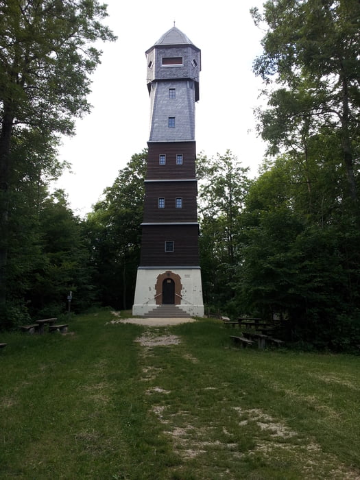
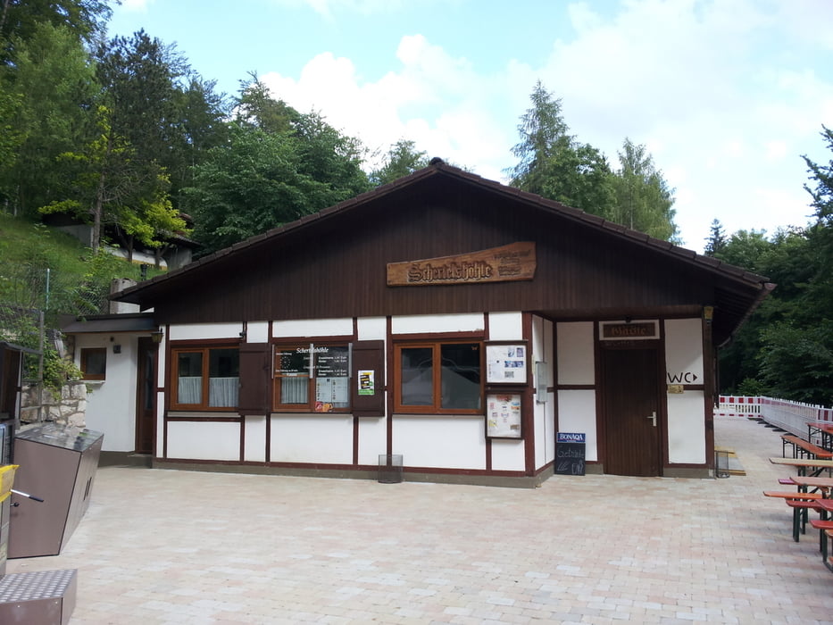
Vom Römerstein geht es über Donnstetten zur Schertelhöhle. Von dort aus nach Westerheim und zurück ins Filstal.
Die Tour ist in beiden Richtung möglich. Entgegen dem Uhrzeigersinn gefahren (wie beschrieben), hat man am Schluß noch eine schöne, knackige Abfahrt.
Einkehrmöglichkkeiten gibt es in Schopfloch (Restaurant-Cafe Sommerberg) und in Wiesensteig (Restaurant-Cafe Filsursprung)
Tour gallery
Tour map and elevation profile
Minimum height 607 m
Maximum height 876 m
More about the tour author

|
le_tour_info |
Comments
Autobahn A8, Ausfahrt Mühlhausen, Richtung Wiesensteig.
Durch den Ort am Freibad vorbei Richtung "Filsursprung". Parkpatz ehem. Papierfabrik
GPS tracks
Trackpoints-
GPX / Garmin Map Source (gpx) download
-
TCX / Garmin Training Center® (tcx) download
-
CRS / Garmin Training Center® (crs) download
-
Google Earth (kml) download
-
G7ToWin (g7t) download
-
TTQV (trk) download
-
Overlay (ovl) download
-
Fugawi (txt) download
-
Kompass (DAV) Track (tk) download
-
Track data sheet (pdf) download
-
Original file of the author (gpx) download
More about the tour author
|
|
le_tour_info |
Add to my favorites
Remove from my favorites
Edit tags
Open track
My score
Rate
mit Kind