Login

Forgot your login?

Cookies have to be accepted!
Your browser's cookie functionality is disabled. Please enable this functionality.

Not a member yet?

Register now
Login

Available for registred users only

Log in to use this feature.

Forgot your login?

Cookies have to be accepted!
Your browser's cookie functionality is disabled. Please enable this functionality.

Not a member yet?

Register now
Filter
Categories
Advanced filters
  • Distance (km)
  • Height
Save filters Reset filter

TrackRank

QRCode

Technical data

Distance20,7 km Height440 m Way down431 m Duration01:05 h:m Date03.07.2012
Scores Author Landscape Fun factor Fitness Technique

Statistics

28 Views Scores 3 Downloads Average
Rate
  • Track data sheet
  • Directions
  • Downloads

2.7.2012

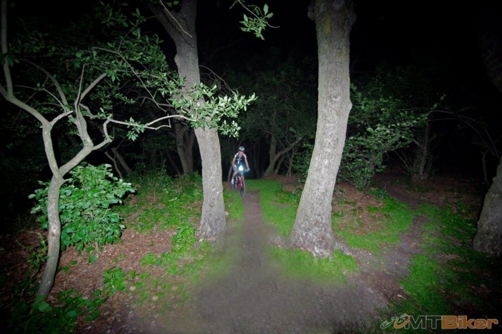
Komárov a komárov, nedalo sa zastaviť. Na vrchole v areáli základne to bol úplný extrém, také hejná... :no: Cestou domov som na modrej pred Pasienkom skoro narazil do diviaka. Prebehol mi krížom cez chodník nejakých 4-5 m predo mnou. Ani sa nepozrel. :-D S Tomášom, Vladom, Paľom a astrom.

Tour map and elevation profile

  • Open Street Map
  • Google
Minimum height 195 m Maximum height 500 m Detailed view

More about the tour author

tmax
Member since 2007

Send private message

Comments

BA-Dlhé Diely

GPS tracks

Trackpoints
  • GPX / Garmin Map Source (gpx) download
  • TCX / Garmin Training Center® (tcx) download
  • CRS / Garmin Training Center® (crs) download
  • Google Earth (kml) download
  • G7ToWin (g7t) download
  • TTQV (trk) download
  • Overlay (ovl) download
  • Fugawi (txt) download
  • Kompass (DAV) Track (tk) download
  • Track data sheet (pdf) download
  • Original file of the author (gpx) download

More about the tour author

tmax
Member since 2007

Send private message
Share track
Add to my favorites
Remove from my favorites
Edit tags
My score
Rate
Track: 20120702_2_Nočák po Kobyle
Type: Mountain bike
Distance: 20,7 km
Evaluated on:
Duration:
Day(s)
Hour(s)
Minute(s)
Score: Landscape Fun factor Fitness Technique