


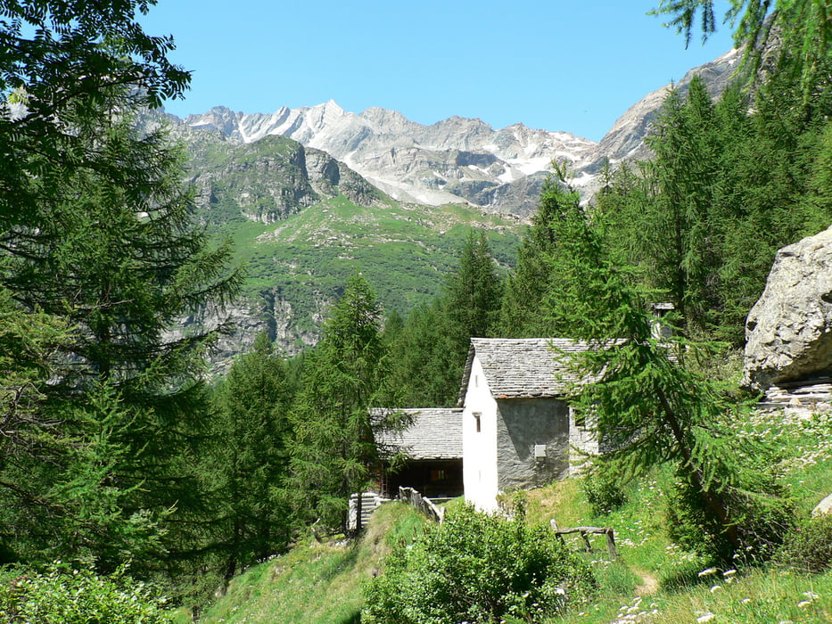
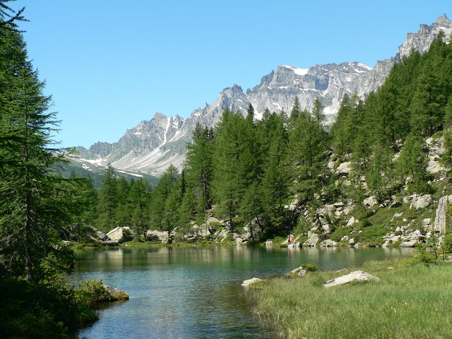
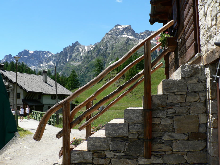
Lasciata l'auto al parcheggio esterno dell'alpe si percorre la piana fino nei pressi del rifugio Castiglioni, quindi si imbocca il sentiero del Vallaro arrivando al Lago delle Streghe o Azzurro, lasciato il lago si prende il sentiero che in 15 minuti porta all'alpe Crampiolo da qui si ritorna all'alpe Devero percorrendo il sentiero che costeggia il torrente Devero per poi ritornare al rifugio Castiglioni dove si può gustare un ottima polenta con salsiccia e castagne, si ritorna all'auto percorrendo l'ampia distesa dell'alpeggio.
Escursione effettuata coi miei nipoti di 6 e 9 anni.
Escursione effettuata coi miei nipoti di 6 e 9 anni.
Tour gallery
Tour map and elevation profile
Minimum height 1579 m
Maximum height 1749 m
More about the tour author
|
|
gcasti |
Comments

GPS tracks
Trackpoints-
GPX / Garmin Map Source (gpx) download
-
TCX / Garmin Training Center® (tcx) download
-
CRS / Garmin Training Center® (crs) download
-
Google Earth (kml) download
-
G7ToWin (g7t) download
-
TTQV (trk) download
-
Overlay (ovl) download
-
Fugawi (txt) download
-
Kompass (DAV) Track (tk) download
-
Track data sheet (pdf) download
-
Original file of the author (gpx) download
More about the tour author
|
|
gcasti |
Add to my favorites
Remove from my favorites
Edit tags
Open track
My score
Rate