


Wenn die Zeit mal etwas eng ist...ich bin die Tour in 5 Tagen gefahren, wobei der 5. Tag nur noch ein halber war und aus Abrollen zum See Bestand. Für Biker, die es etwas eiliger haben ist sie aber sicher auch in 3 1/2 - 4 Tagen machbar.
1) Bonaduz-Vals
Safiental, Thurahuss, Tomülpass (z.T. schieben, schöner Downhill S1-S2)
2) Vals-Rabius
Valsertal, Pass beim Piz Seznar (Downhill S0-S1)
3) Rabius-Hospental
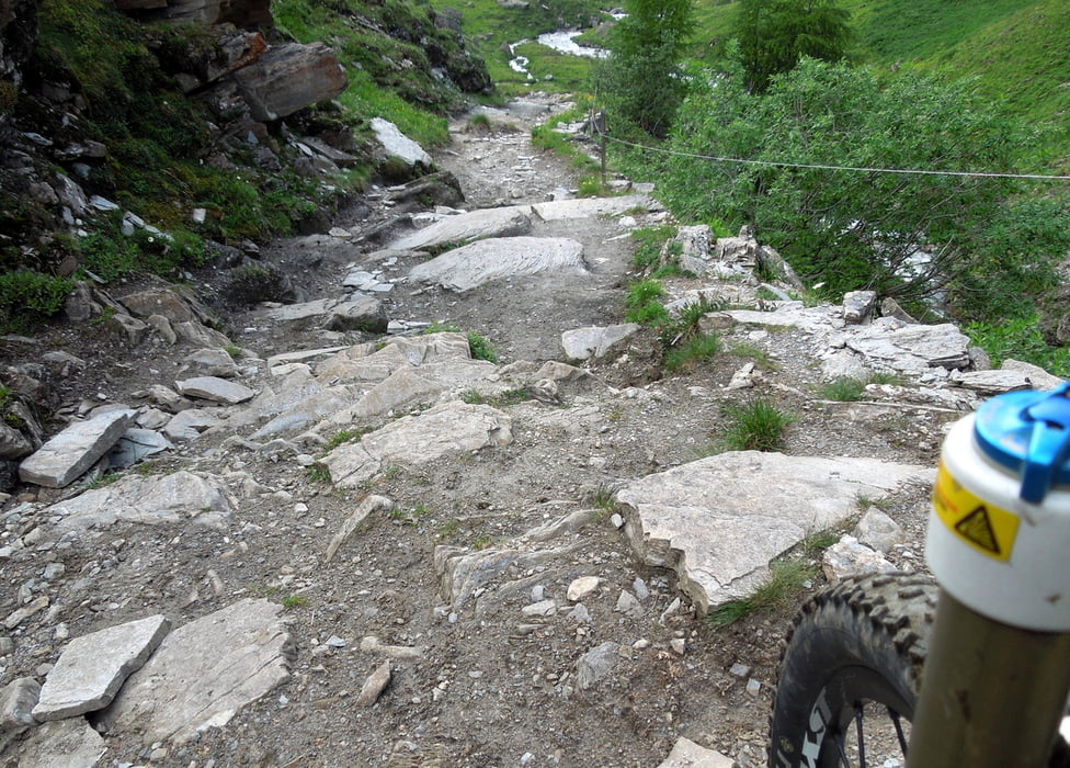
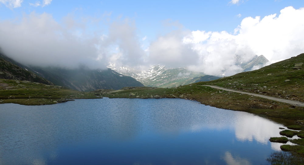
Rheintal zur Rheinquelle, Val Maighels via Maighelspass nach Andermatt (grandioser Downhill S2-S3)
Übernachtungstipp: Sust-Lodge in Hospental bei Beat und Mike. Ausgelegt für Biker, sauber und relativ günstig. Das Essen ist phänomenal gut. Spezialität des Hauses: Yak-Steak...der Hammer!
(http://www.sustlodge.ch Tel: +41 41 887 05 02 - info@sustlodge.ch)
4) Hospental-Camperio
Gottardpass auf der alten Tremola. Oben Abzweig zum Passo Scimfuss nach Airolo.
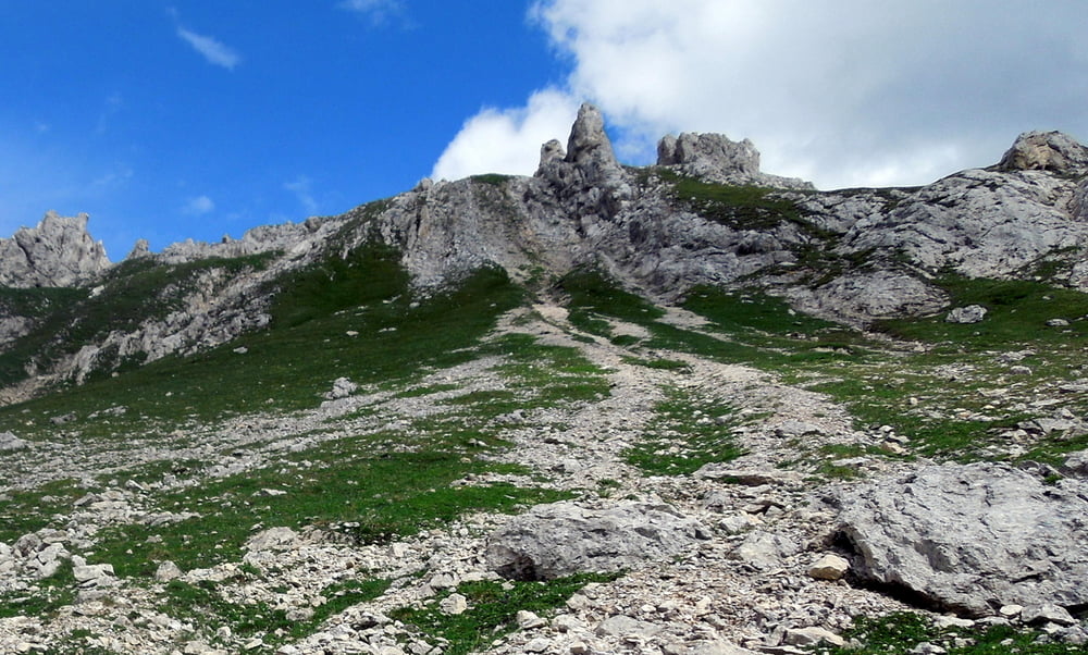
Aufstieg zum Passo del Sole. Traumhafte Landschaft und ein noch besserer Single Trail Downhill (S2-S3). Für Technikfreaks ein absoluter Traum. Für mich war's z.T. etwas zu heftig - der hat's echt in sich.
5) Camperio-Locarno
Abrollen nach Locarno
Further information at
http://www.sustlodge.chTour gallery

Tour map and elevation profile
Minimum height 203 m
Maximum height 2422 m
More about the tour author
|
|
FozzyFozzborn |
Comments

Anreise von Zürich mit dem SBB nach Chur/Bonaduz
GPS tracks
Trackpoints-
GPX / Garmin Map Source (gpx) download
-
TCX / Garmin Training Center® (tcx) download
-
CRS / Garmin Training Center® (crs) download
-
Google Earth (kml) download
-
G7ToWin (g7t) download
-
TTQV (trk) download
-
Overlay (ovl) download
-
Fugawi (txt) download
-
Kompass (DAV) Track (tk) download
-
Track data sheet (pdf) download
-
Original file of the author (gpx) download
More about the tour author
|
|
FozzyFozzborn |
Add to my favorites
Remove from my favorites
Edit tags
Open track
My score
Rate