


Am letzen Tag mussten am Anfang gleich die letzten 500hm auf den Albulapass genommen werden der auf 2315m liegt.
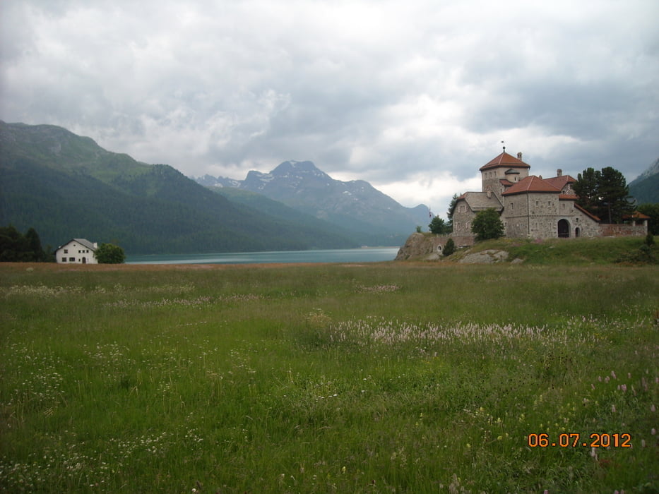
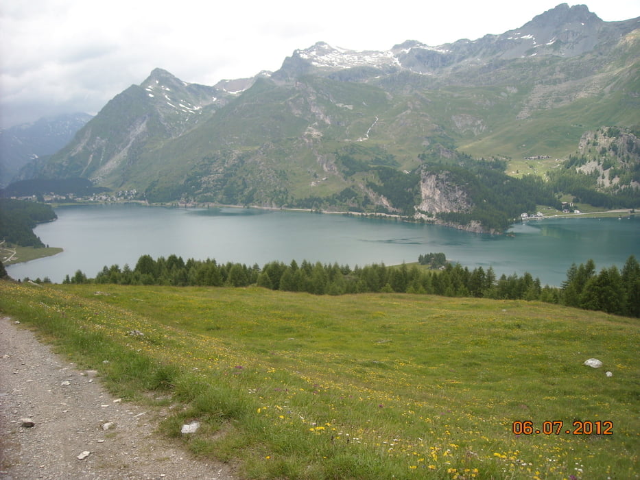
Oben angekommen ging es fast nur noch bergab. Über La Punt nach St. Moritz an kleinen Seen vorbei über den Malojapass bis zur Grenze nach Italien. Hier folgte eine lange Strecke auf ebener Straße durch Chiavenna an den Comer See.
Die letzte Unterkunft war im Hinterland des Comer Sees in den Bergen das heißt zum Schluss nochmal 600hm bergauf wobei die Steigung recht klein ist und somit alles gemütlich zu fahren war.
Hier auf einem ehemals alten Bauernhof gabs auch Halbpension
Tour gallery


Tour map and elevation profile
Minimum height 198 m
Maximum height 2328 m
More about the tour author
|
|
claus212 |
Comments

GPS tracks
Trackpoints-
GPX / Garmin Map Source (gpx) download
-
TCX / Garmin Training Center® (tcx) download
-
CRS / Garmin Training Center® (crs) download
-
Google Earth (kml) download
-
G7ToWin (g7t) download
-
TTQV (trk) download
-
Overlay (ovl) download
-
Fugawi (txt) download
-
Kompass (DAV) Track (tk) download
-
Track data sheet (pdf) download
-
Original file of the author (gpx) download
More about the tour author
|
|
claus212 |
Add to my favorites
Remove from my favorites
Edit tags
Open track
My score
Rate