Login

Forgot your login?

Cookies have to be accepted!
Your browser's cookie functionality is disabled. Please enable this functionality.

Not a member yet?

Register now
Login

Available for registred users only

Log in to use this feature.

Forgot your login?

Cookies have to be accepted!
Your browser's cookie functionality is disabled. Please enable this functionality.

Not a member yet?

Register now
Filter
Categories
Advanced filters
  • Distance (km)
  • Height
Save filters Reset filter

TrackRank

QRCode

Technical data

Distance48,7 km Height821 m Way down1054 m Duration04:15 h:m Date12.07.2012
Scores Author Landscape Fun factor Fitness Technique

Statistics

320 Views Scores 58 Downloads Average
Rate
  • Track data sheet
  • Directions
  • Downloads
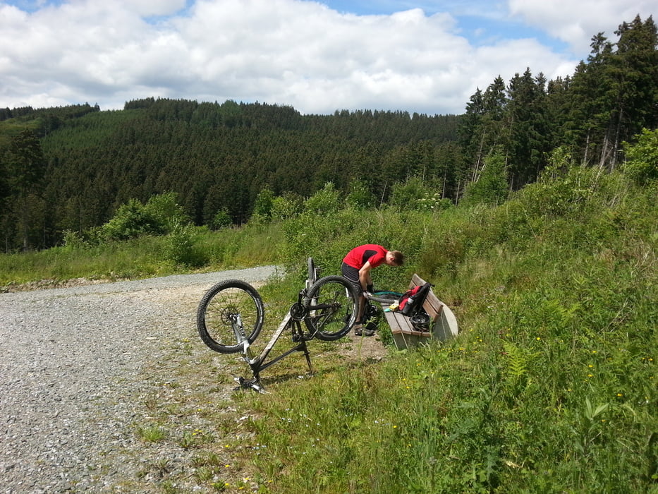
Sehr schöne Tour. Ich empfehle Ersatzschlauch mit zu führen. Wir hatten zwei ausfälle wärend der Tour. Anfangs ist es Landschaftlich ganz toll und zum Schluß wir man mit sehr schönen Trails belohnt.

Tour gallery

Tour map and elevation profile

  • Open Street Map
  • Google
Minimum height 230 m Maximum height 599 m Detailed view

More about the tour author

Tolicanyon
Member since 2012

Send private message

Comments

GPS tracks

Trackpoints
  • GPX / Garmin Map Source (gpx) download
  • TCX / Garmin Training Center® (tcx) download
  • CRS / Garmin Training Center® (crs) download
  • Google Earth (kml) download
  • G7ToWin (g7t) download
  • TTQV (trk) download
  • Overlay (ovl) download
  • Fugawi (txt) download
  • Kompass (DAV) Track (tk) download
  • Track data sheet (pdf) download
  • Original file of the author (gpx) download

More about the tour author

Tolicanyon
Member since 2012

Send private message
Share track
Add to my favorites
Remove from my favorites
Edit tags
My score
Rate
Track: Willingen-Arnsberg
Type: Mountain bike
Distance: 48,7 km
Evaluated on:
Duration:
Day(s)
Hour(s)
Minute(s)
Score: Landscape Fun factor Fitness Technique