Login

Forgot your login?

Cookies have to be accepted!
Your browser's cookie functionality is disabled. Please enable this functionality.

Not a member yet?

Register now
Login

Available for registred users only

Log in to use this feature.

Forgot your login?

Cookies have to be accepted!
Your browser's cookie functionality is disabled. Please enable this functionality.

Not a member yet?

Register now
Filter
Categories
Advanced filters
  • Distance (km)
  • Height
Save filters Reset filter

TrackRank

QRCode

Technical data

Distance7,4 km Height688 m Way down642 m Duration02:51 h:m Date14.07.2012
Scores Author Landscape Fun factor Fitness Technique

Statistics

331 Views Scores 20 Downloads Average
Rate
  • Track data sheet
  • Directions
  • Downloads

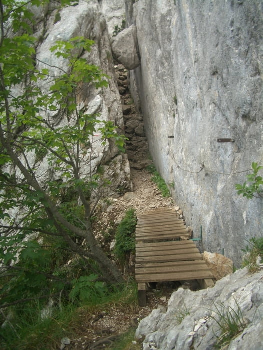
Recht steiler An- und Abstieg, Kletterstellen sind mit Seilen gesichert.

Die Wanderung folgte der Tour 46 (ohne Sangle) im Rother Wanderführer "Savoyen" von R. Scholl (1. Aufl. 2006).
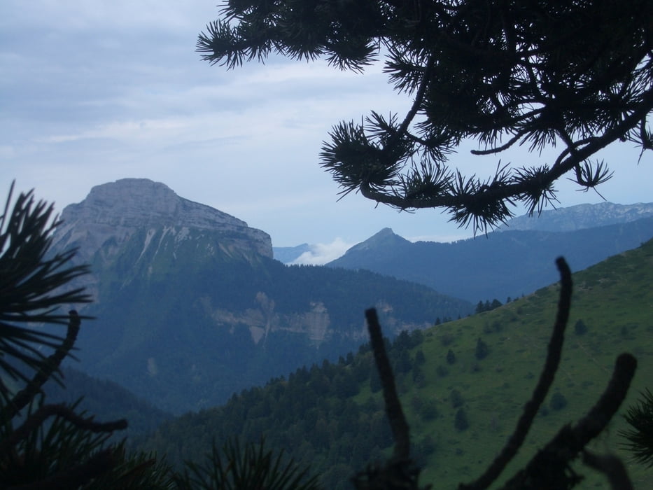
 

Tour gallery

Tour map and elevation profile

  • Open Street Map
  • Google
Minimum height 1398 m Maximum height 2065 m Detailed view

More about the tour author

Binuschka
Member since 2012

Send private message

Comments

Start- und Zielpunkt ist ein Parkplatz am Col du Coq

GPS tracks

Trackpoints
  • GPX / Garmin Map Source (gpx) download
  • TCX / Garmin Training Center® (tcx) download
  • CRS / Garmin Training Center® (crs) download
  • Google Earth (kml) download
  • G7ToWin (g7t) download
  • TTQV (trk) download
  • Overlay (ovl) download
  • Fugawi (txt) download
  • Kompass (DAV) Track (tk) download
  • Track data sheet (pdf) download
  • Original file of the author (gpx) download

More about the tour author

Binuschka
Member since 2012

Send private message
Share track
Add to my favorites
Remove from my favorites
Edit tags
My score
Rate
Track: Rundwanderung über La Dent de Crolles
Type: Mountain hiking
Distance: 7,4 km
Evaluated on:
Duration:
Day(s)
Hour(s)
Minute(s)
Score: Landscape Fun factor Fitness Technique