

Wir starten in St.Martin am Grimming bei der Tankstelle neben der Strasse, (gute möglichkeitzum Parken),,,
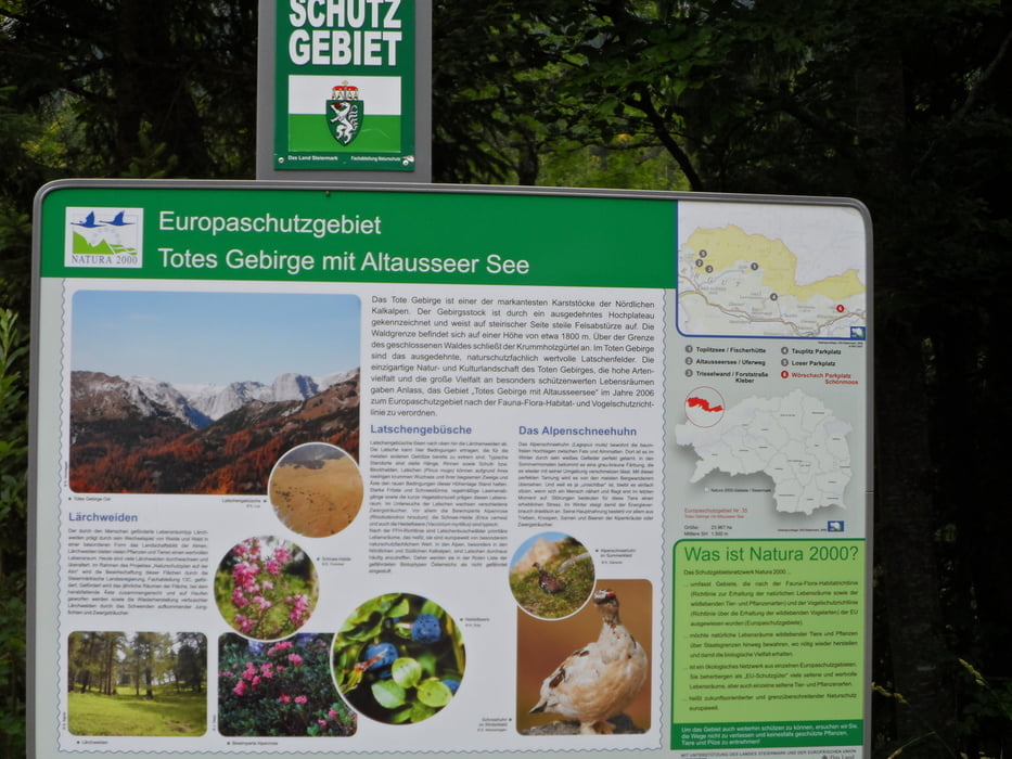
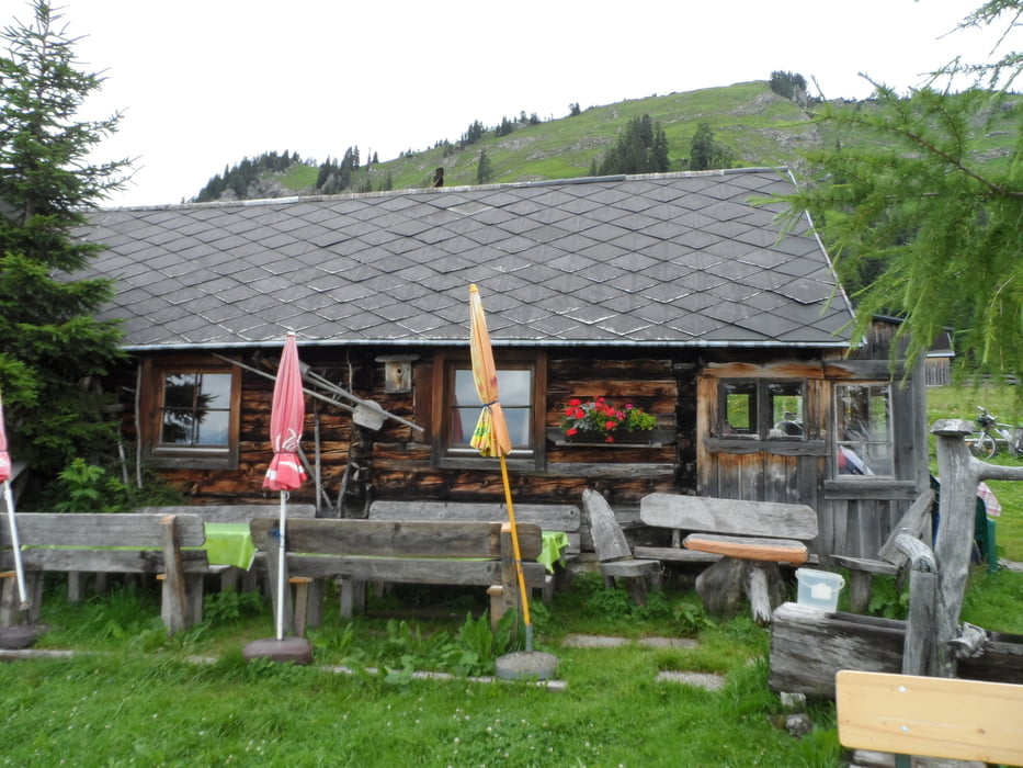
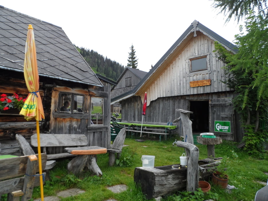
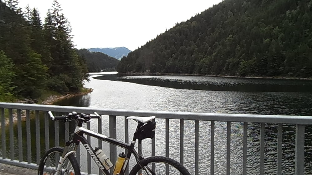
Es geht den Ennstal Radweg entlang richtung Trautenfels,Wörschach, wo es dann Bergauf geht ...Man fährt eigentlich immer nur die Makierten weg entlang Spechtenseerunde und Bärenfeichten ist gut makiert...Bis man zur Bärenfeichtenhütte kommt eine uhriege alte Hütte mit einer netten Wirtin...Hinunter geht es dann durch den Wörschachwald , nach Schrördis, Tauplitz-Bahnhof weiter den R19-entlang. Vital-Hotel Bad Heilbrunn vorbei Richtung -Salza-Stausee..Den Weg entlang super schön zu fahren bis man wieder in St.Martin am Grimming raus kommt noch einen km zurück zum Auto...
Wünsch euch viel Spass bei der Tour
Tour gallery

Tour map and elevation profile
Minimum height 2110 m
Maximum height 2899 m
More about the tour author
|
|
Mountainbikegirl |
Comments

GPS tracks
Trackpoints-
GPX / Garmin Map Source (gpx) download
-
TCX / Garmin Training Center® (tcx) download
-
CRS / Garmin Training Center® (crs) download
-
Google Earth (kml) download
-
G7ToWin (g7t) download
-
TTQV (trk) download
-
Overlay (ovl) download
-
Fugawi (txt) download
-
Kompass (DAV) Track (tk) download
-
Track data sheet (pdf) download
-
Original file of the author (gpx) download
More about the tour author
|
|
Mountainbikegirl |
Add to my favorites
Remove from my favorites
Edit tags
Open track
My score
Rate