
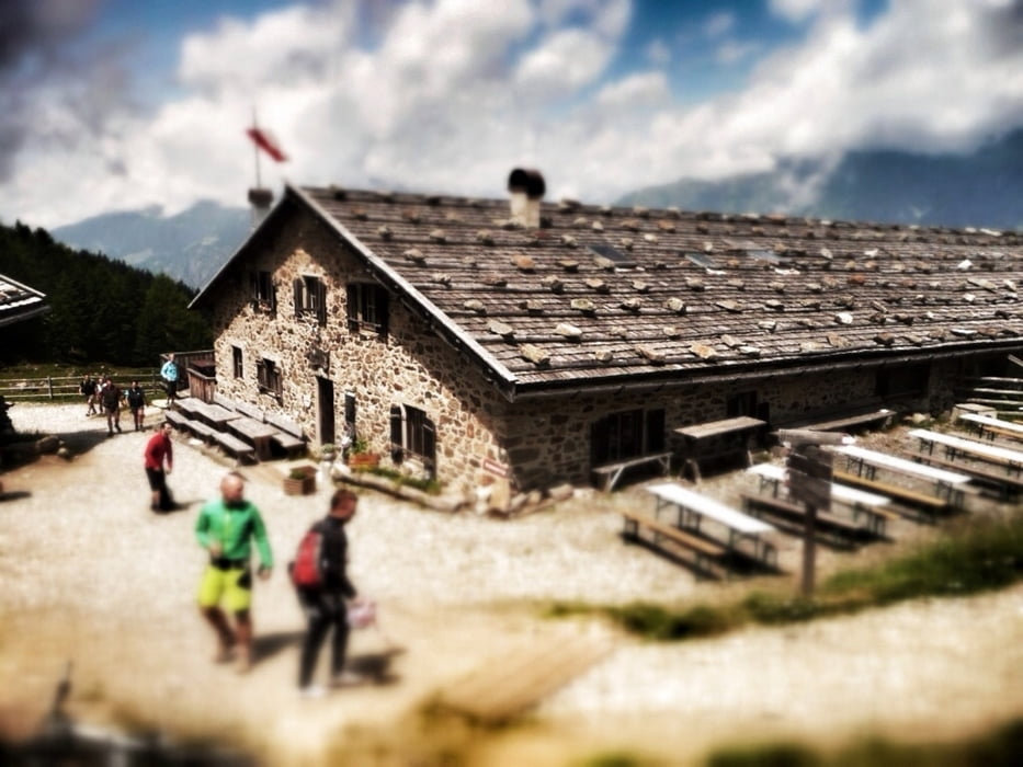

Von Plaza in Latsch geht es auf einem welligen Radweg durch den Vinschgau, vorbei an Obstplantagen hinunter nach Naturns (550m). Die gut 25 Kilometer lassen sich bequem zum Einrollen in den nun kommenden Anstieg auf die Naturnser Alm nutzen. Der gut 1400 Meter hohe Anstieg beginnt auf Asphalt, ab etwa der Hälfte der Strecke geht der Weg in Schotter über. Nun geht es mit besten Ausblicken auf den Vinschgau sportlich hoch zur Naturnser Alm (1910m) und hinüber zum Vigiljoch. Anschließend biked man hinunter nach St. Pankraz im Ultental und pedalliert die restliche Strecke nach St. Walburg (1130m) am Zogglerstausees. (GPS Tourdaten) (67 KM; 1953 HM).
Further information at
http://www.hikeandbike.deTour gallery

Tour map and elevation profile
Minimum height 555 m
Maximum height 1967 m
More about the tour author

|
Mountainracer |
Comments

GPS tracks
Trackpoints-
GPX / Garmin Map Source (gpx) download
-
TCX / Garmin Training Center® (tcx) download
-
CRS / Garmin Training Center® (crs) download
-
Google Earth (kml) download
-
G7ToWin (g7t) download
-
TTQV (trk) download
-
Overlay (ovl) download
-
Fugawi (txt) download
-
Kompass (DAV) Track (tk) download
-
Track data sheet (pdf) download
-
Original file of the author (gpx) download
More about the tour author
|
|
Mountainracer |
Add to my favorites
Remove from my favorites
Edit tags
Open track
My score
Rate