


Abruzzencross von Isola del Gran Sasso zum Lago di Fiastra
Etappe 4
Startpunkt: L’Aquilla Hotel Castello
Über den Monte Lenca zum Lago di Campotosto
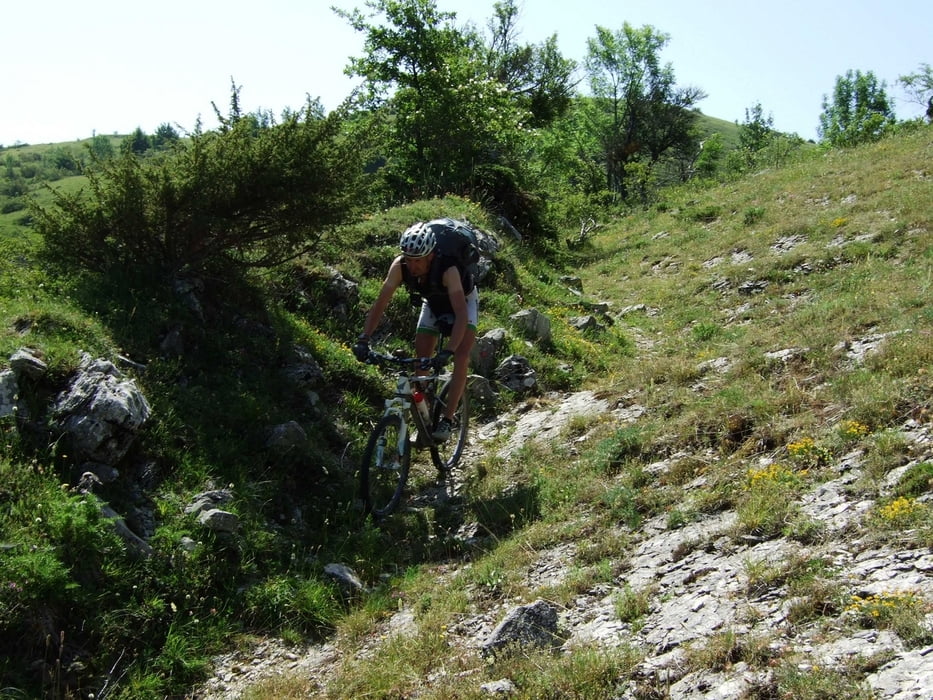
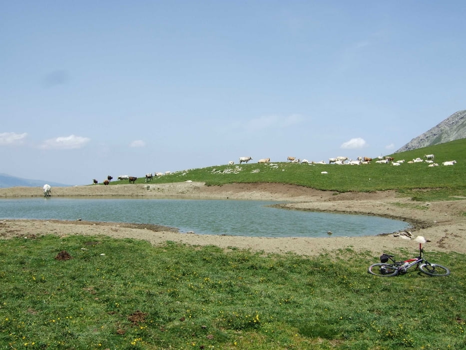
Nach Straßenauffahrt hinter Collebrincione links auf Straßenpiste abzweigen und nach Durchquerung der Valle Pugliese auf Weitwanderweg Sent. Italia 100 einbiegen. Der Trail in das Tal von Auragno ist zum Teil zugewachsen und manchmal schwer zu finden. Ggf. auf freie Flächen ausweichen. Vom Talboden auf Forststraße über den C.le Patrizio hoch zu einer Provinzstraße und dieser kurz rechts folgen, um über den sehr steilen Karrenweg Nr. 115 auf den Sattel östlich des Monte Lenca abwechselnd zu biken und zu schieben. Auf Trail (zum Teil weglos aber fahrbar) auf Kamm nördlich des Monte Lenca zum Passo Belvedere und weiter auf Weg Nr. 112 bis zur Straße Nr. 80 biken. Der Straße hinunter bis Ortolano folgen und hier auf Asphalt hinauf zum Lago di Campotosto fahren.
Tour gallery


Tour map and elevation profile
Minimum height 720 m
Maximum height 2074 m
More about the tour author
|
|
RudolfTill |
Comments

Anfahrt:
Siehe Abruzzencross Etappe 3
Siehe Abruzzencross Etappe 3
GPS tracks
Trackpoints-
GPX / Garmin Map Source (gpx) download
-
TCX / Garmin Training Center® (tcx) download
-
CRS / Garmin Training Center® (crs) download
-
Google Earth (kml) download
-
G7ToWin (g7t) download
-
TTQV (trk) download
-
Overlay (ovl) download
-
Fugawi (txt) download
-
Kompass (DAV) Track (tk) download
-
Track data sheet (pdf) download
-
Original file of the author (gpx) download
More about the tour author
|
|
RudolfTill |
Add to my favorites
Remove from my favorites
Edit tags
Open track
My score
Rate