Login

Forgot your login?

Cookies have to be accepted!
Your browser's cookie functionality is disabled. Please enable this functionality.

Not a member yet?

Register now
Login

Available for registred users only

Log in to use this feature.

Forgot your login?

Cookies have to be accepted!
Your browser's cookie functionality is disabled. Please enable this functionality.

Not a member yet?

Register now
Filter
Categories
Advanced filters
  • Distance (km)
  • Height
Save filters Reset filter

TrackRank

QRCode

Technical data

Distance10,0 km Height239 m Way down210 m Duration00:00 h:m Date17.07.2012
Scores Author Landscape Fun factor Fitness Technique

Statistics

5987 Views 1 Score 258 Downloads 5.00 Average
Rate
  • Track data sheet
  • Directions
  • Downloads

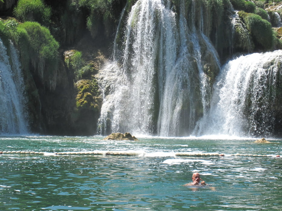
e superschöni u Troumhafti Wanderig im Nationalpark bi de Wasserfäll Krka


Tour gallery

Tour map and elevation profile

  • Open Street Map
  • Google
Minimum height -2 m Maximum height 190 m Detailed view

More about the tour author

zoetteler
Member since 2011

Send private message

Comments

Vom Autokamp KRKA aus mit dem Fahrrad NUR ca 5 min.

Fahrrad muss man draussen lassen!

GPS tracks

Trackpoints
  • GPX / Garmin Map Source (gpx) download
  • TCX / Garmin Training Center® (tcx) download
  • CRS / Garmin Training Center® (crs) download
  • Google Earth (kml) download
  • G7ToWin (g7t) download
  • TTQV (trk) download
  • Overlay (ovl) download
  • Fugawi (txt) download
  • Kompass (DAV) Track (tk) download
  • Track data sheet (pdf) download
  • Original file of the author (gpx) download

More about the tour author

zoetteler
Member since 2011

Send private message
Share track
Add to my favorites
Remove from my favorites
Edit tags
My score
Rate
Track: Krka Wasserfälle
Type: Hiking
Distance: 10,0 km
Evaluated on:
Duration:
Day(s)
Hour(s)
Minute(s)
Score: Landscape Fun factor Fitness Technique