


Einfache schöne Küstenwanderung auf der herrlichen Insel Isle of Skye.
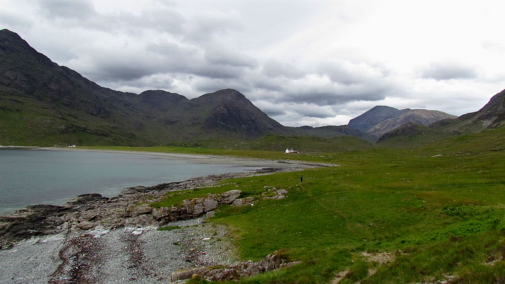
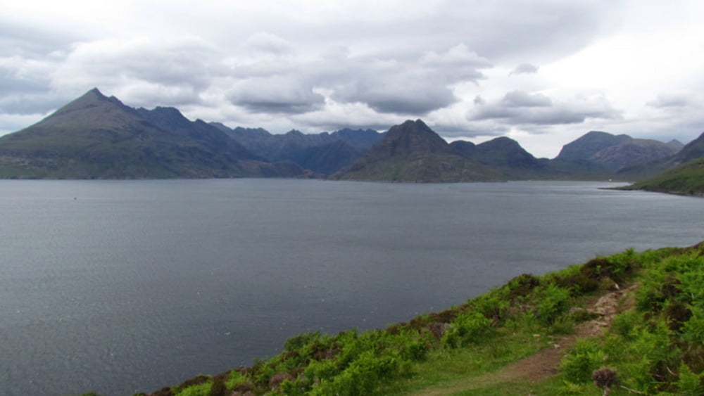
Nehmen Sie bei Broadford die B8083 nach Elgol lassen dort das Auto stehen und folgen den Hinweisschildern nach Camasunary bzw. Sligachan. Der Weg führt stets der Küste entlang mit fantastischem Ausblick auf die gegenüberliegenden schwarzen Cuillins. Nach ca. 2 Stunden erreichen Sie dann die Bucht von Camasunary. Auf dem gleichen Weg geht es dann wieder zurück zum Ausgangspunkt.
Die Aufzeichnung der Wanderung erfolgte mit dem Garminetrex 30
Further information at
http://www.satcom.at/wanderungen/Tour gallery
Tour map and elevation profile
Minimum height 5 m
Maximum height 115 m
More about the tour author
|
|
GarminSalzburg |
Comments

Nehmen Sie bei Broadford die B8083 nach Elgol lassen dort das Auto stehen und folgen den Hinweisschildern nach Camasunary bzw. Sligachan
GPS tracks
Trackpoints-
GPX / Garmin Map Source (gpx) download
-
TCX / Garmin Training Center® (tcx) download
-
CRS / Garmin Training Center® (crs) download
-
Google Earth (kml) download
-
G7ToWin (g7t) download
-
TTQV (trk) download
-
Overlay (ovl) download
-
Fugawi (txt) download
-
Kompass (DAV) Track (tk) download
-
Track data sheet (pdf) download
-
Original file of the author (gpx) download
More about the tour author
|
|
GarminSalzburg |
Add to my favorites
Remove from my favorites
Edit tags
Open track
My score
Rate