


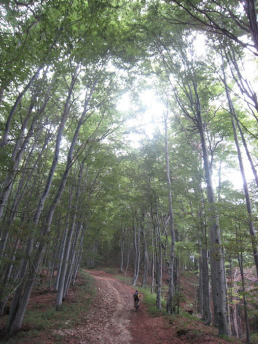
Kombinacija dveh tur - mimo samostana Pleterje, po napornem vzponu po gozdnih poteh in kolovozih po grebenu, malo gor in malo dol, ter nato vzpon na Trdinov vrh. Spust sprva po travnikih in gozdu, nato kratek del po poti vzpona in nato hiter, tehnično ne prezahteven spust po "Laški poti" v dolino.
Tura poteka večinoma v gozdu in je primerna tudi za vroče dni, na spustu postreže s krasno tekočimi singelcami in kolovozi, na vzponu je potrebno zaradi strmine in slabe podlage parkrat sestopiti.
Če ti zmanjka pijače, lahko napraviš kratek izlet do doma Miklavž na Gorjancih, 20 min pod Trdinovim vrhom.
Tour gallery


Tour map and elevation profile
Minimum height 207 m
Maximum height 1172 m
More about the tour author
|
|
backo |
Comments

Izhodišče je Šentjernej.
GPS tracks
Trackpoints-
GPX / Garmin Map Source (gpx) download
-
TCX / Garmin Training Center® (tcx) download
-
CRS / Garmin Training Center® (crs) download
-
Google Earth (kml) download
-
G7ToWin (g7t) download
-
TTQV (trk) download
-
Overlay (ovl) download
-
Fugawi (txt) download
-
Kompass (DAV) Track (tk) download
-
Track data sheet (pdf) download
-
Original file of the author (gpx) download
More about the tour author
|
|
backo |
Add to my favorites
Remove from my favorites
Edit tags
Open track
My score
Rate