


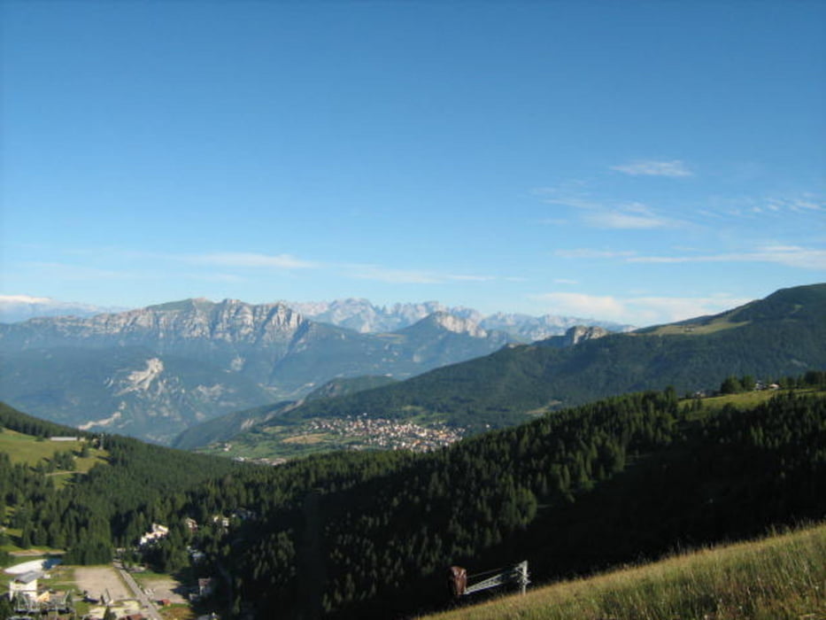
Un giro che abbraccia i grandi Altipiani Trentini.
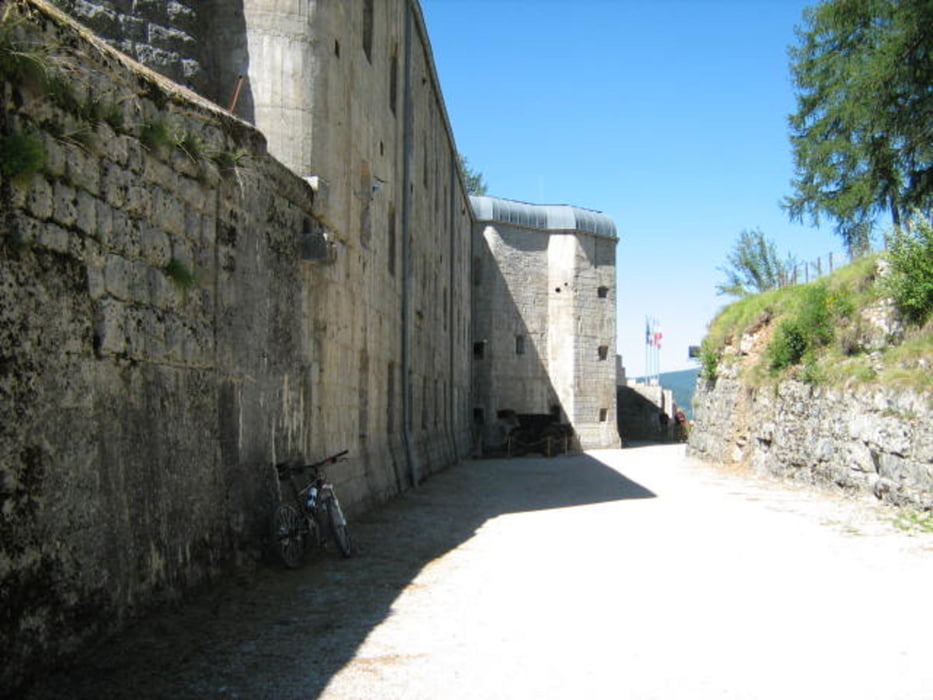
Fino alla fine della grande guerra questo territorio era il “Tirolo Meridionale”, estremo lembo dell'Impero Austro-Ungarico a ridosso del Regno d'Italia. Un confine vulnerabile, che fu difeso mettendo in campo quanto di meglio la tecnologia bellica dell'epoca potesse offrire, approntando un sistema di opere fortificate e relative infrastrutture senza pari a quell'epoca.
L'itinerario, che concatena le 6 fortezze costituenti l'ossatura del formidabile apparato, permette di farsi un' idea di questo complesso.
Per diluire l'impegno fisico e curiosare come si deve in questo vero e proprio museo a cielo aperto consiglio di dividere il giro in due tappe.
Il tracciato non presenta difficoltà tecniche di rilievo ed è integralmente pedalabile.
Per l'orientamento non ci sono troppi problemi, anche se la rete di sentieri degli Altipiani è un vera e propria ragnatela, contrassegnata da segnaletica di vario tipo...ed epoca.
E' comunque necessario munirsi di carta escursionistica (KOMPASS 631).
Itinerario: Folgaria- Mezzaselva- Dosso delle Somme – Passo Coe – Sommo Alto – Ortesino – Ex ospedale Militare – Forte Cherle – Cueli Liberi – Carbonare – Monte Rust – Lavarone Chiesa – Lago di Lavarone – Lenzi – Birti – Oseli – Forte Belvedere – Passo Cost – Malga Laghetto – Masetti – Luserna – Rifugio Malga Campo – Forte Lusern – Millegrobbe – Passo Vezzena – Forte Busa Verle – Baita Cangi - Slaghenaufi – Lavarone Bertoldi – Stengheli – Ex comando Austriaco – Carbonare – S. Sebastiano -Passo Sommo – Folgaria.
Tour gallery
Tour map and elevation profile
Minimum height 1061 m
Maximum height 1661 m
More about the tour author
|
|
FOLAMOUR |
Comments

Punto di partenza il Palaghiaccio di Folgaria (TN) in via Nazioni Unite (SS350).
GPS tracks
Trackpoints-
GPX / Garmin Map Source (gpx) download
-
TCX / Garmin Training Center® (tcx) download
-
CRS / Garmin Training Center® (crs) download
-
Google Earth (kml) download
-
G7ToWin (g7t) download
-
TTQV (trk) download
-
Overlay (ovl) download
-
Fugawi (txt) download
-
Kompass (DAV) Track (tk) download
-
Track data sheet (pdf) download
-
Original file of the author (gpx) download
More about the tour author
|
|
FOLAMOUR |
Add to my favorites
Remove from my favorites
Edit tags
Open track
My score
Rate