


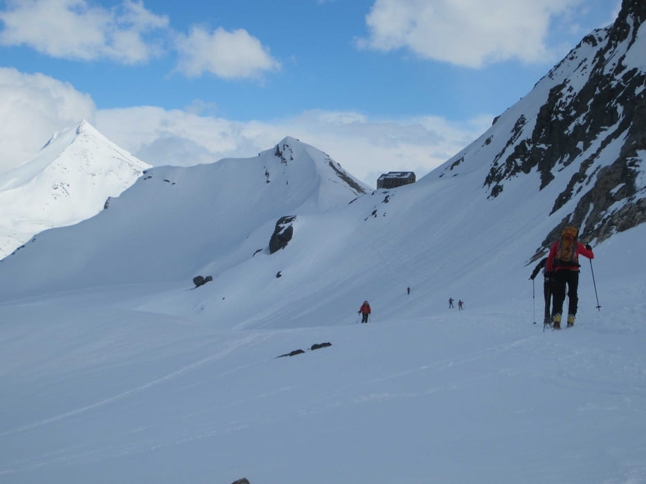
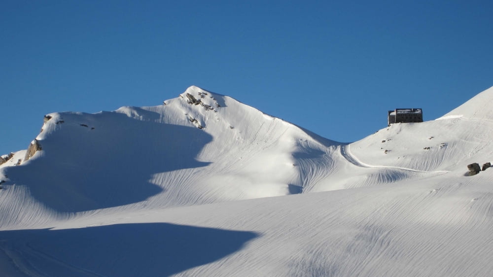
Zustieg zur Britanniahütte
Startpunkt: Bergstation der Felskinnbahn
Von der Bergstation der Felskinnbahn führt eine halbstündige Traverse zur Britanniahütte. Bei schlechten Verhältnissen (z.B. bei Schneebrettgefahr) kann man auf die, unterhalb des Tracks verlaufende, Pistenwalzenspur ausweichen.
Trotz des harmlosen Anstiegs ist hochalpine Erfahrung und Ausrüstung erforderlich.
Tour gallery
Tour map and elevation profile
Minimum height 2990 m
Maximum height 3044 m
More about the tour author
|
|
RudolfTill |
Comments

Anfahrt:
Von Visp im Rohnetal nach Saas Fee.
Anschließend mit der Felskinnbergbahn zur Bergstation gondeln.
Von Visp im Rohnetal nach Saas Fee.
Anschließend mit der Felskinnbergbahn zur Bergstation gondeln.
GPS tracks
Trackpoints-
GPX / Garmin Map Source (gpx) download
-
TCX / Garmin Training Center® (tcx) download
-
CRS / Garmin Training Center® (crs) download
-
Google Earth (kml) download
-
G7ToWin (g7t) download
-
TTQV (trk) download
-
Overlay (ovl) download
-
Fugawi (txt) download
-
Kompass (DAV) Track (tk) download
-
Track data sheet (pdf) download
-
Original file of the author (gpx) download
More about the tour author
|
|
RudolfTill |
Add to my favorites
Remove from my favorites
Edit tags
Open track
My score
Rate