Login

Forgot your login?

Cookies have to be accepted!
Your browser's cookie functionality is disabled. Please enable this functionality.

Not a member yet?

Register now
Login

Available for registred users only

Log in to use this feature.

Forgot your login?

Cookies have to be accepted!
Your browser's cookie functionality is disabled. Please enable this functionality.

Not a member yet?

Register now
Filter
Categories
Advanced filters
  • Distance (km)
  • Height
Save filters Reset filter

TrackRank

QRCode

Technical data

Distance30,2 km Height1892 m Way down1888 m Duration04:08 h:m Date21.07.2012
Scores Author Landscape Fun factor Fitness Technique

Statistics

235 Views Scores 24 Downloads Average
Rate
  • Track data sheet
  • Directions
  • Downloads

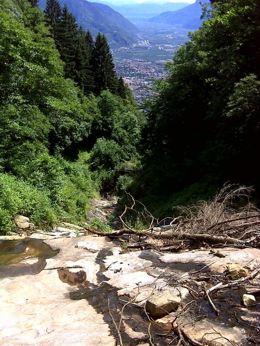
Vellau Korb-Bahn -- Vellauer Felsenweg -- Hochmuth -- Farmerhöfe -- Algund -- Richtung ( Saxner Hof ) -- Saxnerweg -- Vellauer Korb-Bahn


Achtung: Wir sind vom Hotel St. Kassian gestartet.

Tour map and elevation profile

  • Open Street Map
  • Google
Minimum height 414 m Maximum height 1357 m Detailed view

More about the tour author

SuchdenFlow
Member since 2011

Send private message

Comments

Algund bei Meran hoch nach Vellau.

Parken kann mann bei der Korb-Bahn in Vellau

GPS tracks

Trackpoints
  • GPX / Garmin Map Source (gpx) download
  • TCX / Garmin Training Center® (tcx) download
  • CRS / Garmin Training Center® (crs) download
  • Google Earth (kml) download
  • G7ToWin (g7t) download
  • TTQV (trk) download
  • Overlay (ovl) download
  • Fugawi (txt) download
  • Kompass (DAV) Track (tk) download
  • Track data sheet (pdf) download
  • Original file of the author (gpx) download

More about the tour author

SuchdenFlow
Member since 2011

Send private message
Share track
Add to my favorites
Remove from my favorites
Edit tags
My score
Rate
Track: Vellauer Felsenweg
Type: Mountain hiking
Distance: 30,2 km
Evaluated on:
Duration:
Day(s)
Hour(s)
Minute(s)
Score: Landscape Fun factor Fitness Technique