
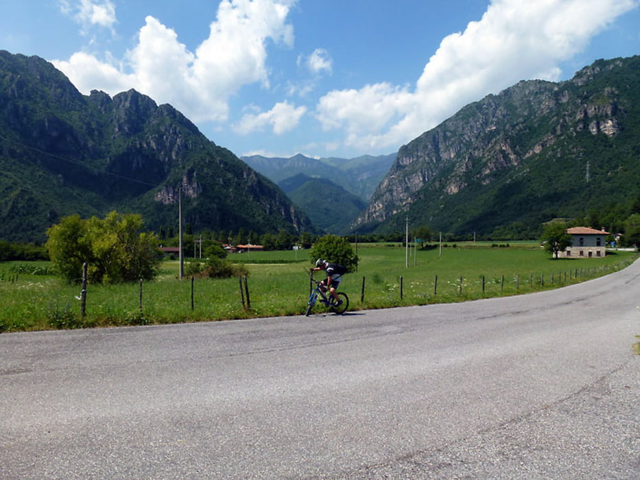

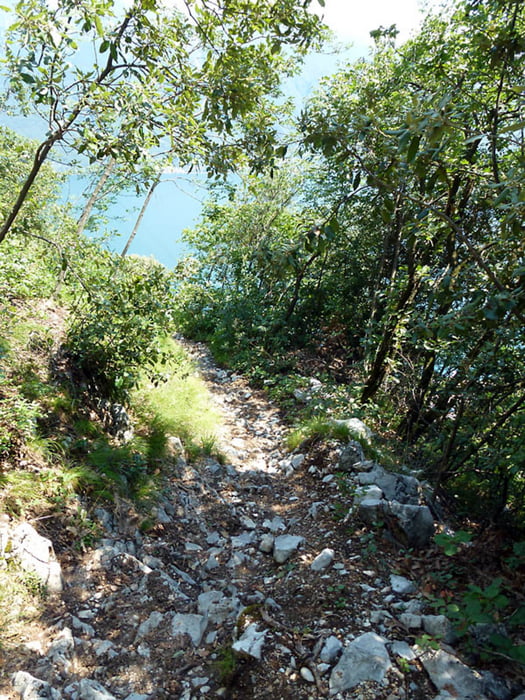
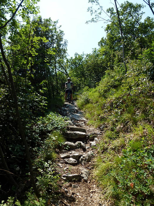
Von Tignale fahren wir über Tremosine nach Pregasio. Hier wird der Weg (266) eigentlich nicht mehr fahrbar.
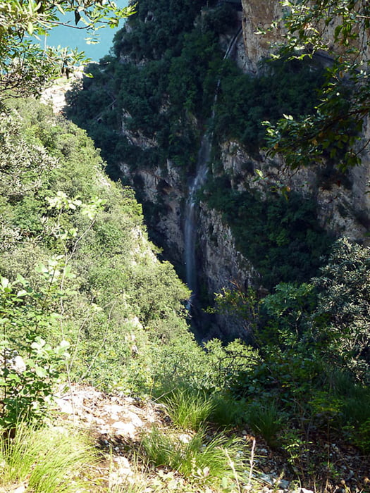
Über einen Steig und das Bike auf der Schulter geht es in eine romatische Schlucht mit Wasserfall. Das Wasser wird hier gestaut und versorgte (wohl früher) per Wasserkraftanlage eine kleine Fabrik, von der allerdings nur noch die Grundmauern stehen.
Der Weg führt uns direkt auf den (Markt) Platz in Campione. Hier ist ein kleiner Biergarten und ein Lebensmittellädchen.
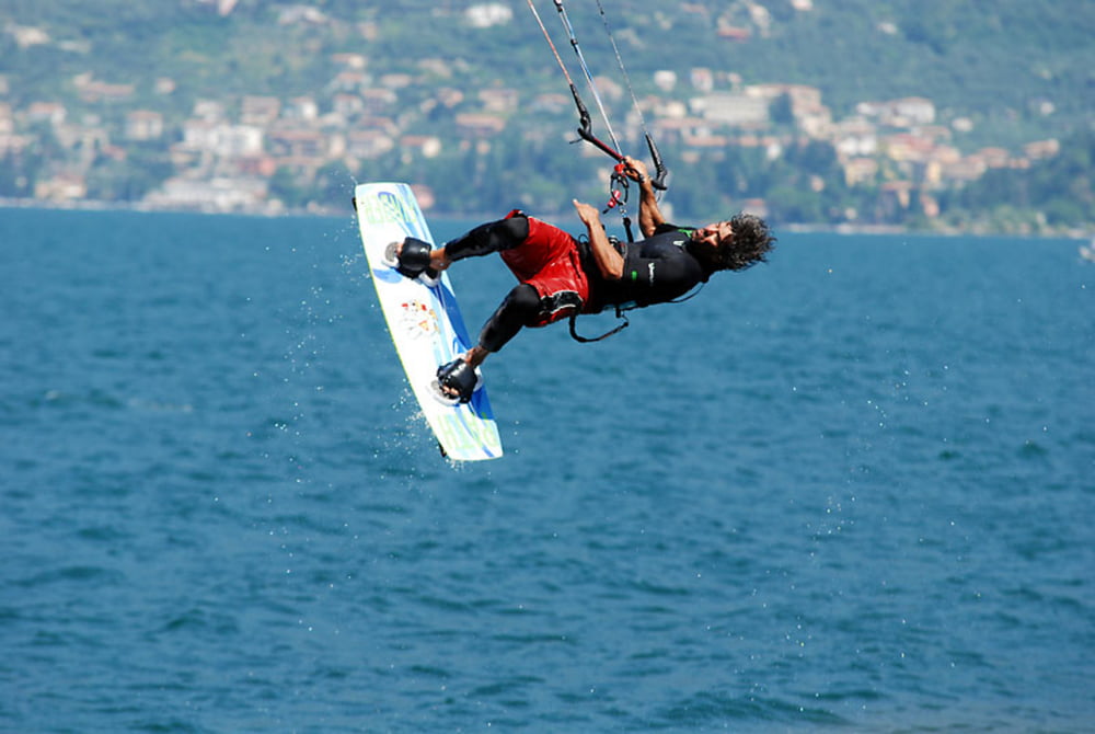
Der angrenzende Gardaseestrand lädt zu einer kleinen Pause ein, wenn der/die Ora einsetzt, kann man hier toll Kitesurfer beobachten.
Nun geht es durch die Tunnel (wenigstens Rücklicht ist empfehlenswert) an der Hauptstrasse wieder hoch (ca.550hm) nach Tignale.
Ist man erstmal an der Auffahrt nach Tignale angelangt, wird der Verkehr wieder ruhiger!
Further information at
http://www.campionedelgarda.de/umgebungTour gallery
Tour map and elevation profile
Minimum height 64 m
Maximum height 625 m
More about the tour author

|
lector |
Comments

GPS tracks
Trackpoints-
GPX / Garmin Map Source (gpx) download
-
TCX / Garmin Training Center® (tcx) download
-
CRS / Garmin Training Center® (crs) download
-
Google Earth (kml) download
-
G7ToWin (g7t) download
-
TTQV (trk) download
-
Overlay (ovl) download
-
Fugawi (txt) download
-
Kompass (DAV) Track (tk) download
-
Track data sheet (pdf) download
-
Original file of the author (gpx) download
More about the tour author
|
|
lector |
Add to my favorites
Remove from my favorites
Edit tags
Open track
My score
Rate