


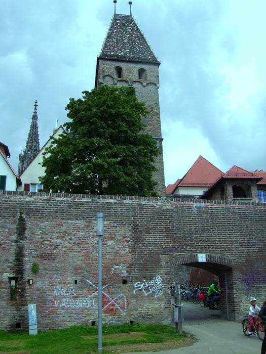
Von Steinberg an die Iller und Weiter nach Ulm. Die Böfinger Steige hoch und weiter an der B19 bis Seligweiler. Über der A8 weiter nach Norden bis Westerstetten. Dort mit Eduardo und Diego ein Stück im Lonetal. Leider habe ich das GPS zum Flicken eines Reifens ausgemacht und erst später, nach ca. 10 km wieder eingeschaltet. Deshalb fehlt ein Stück.
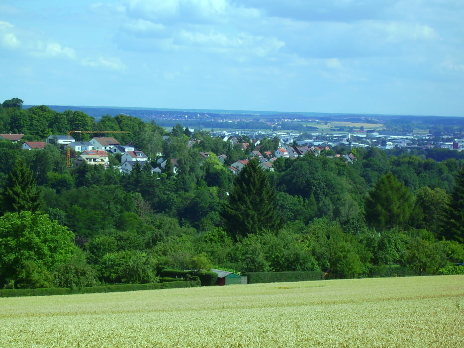
Zurück an Bernstadt vorbei nach Beimerstetten. Von dort nach Jungingen und im Wesentlichen auf dem gleichen Weg zurück.
Tour gallery


Tour map and elevation profile
Minimum height 453 m
Maximum height 608 m
More about the tour author
|
|
painfully58 |
Comments

GPS tracks
Trackpoints-
GPX / Garmin Map Source (gpx) download
-
TCX / Garmin Training Center® (tcx) download
-
CRS / Garmin Training Center® (crs) download
-
Google Earth (kml) download
-
G7ToWin (g7t) download
-
TTQV (trk) download
-
Overlay (ovl) download
-
Fugawi (txt) download
-
Kompass (DAV) Track (tk) download
-
Track data sheet (pdf) download
-
Original file of the author (tcx) download
More about the tour author
|
|
painfully58 |
Add to my favorites
Remove from my favorites
Edit tags
Open track
My score
Rate