Login

Forgot your login?

Cookies have to be accepted!
Your browser's cookie functionality is disabled. Please enable this functionality.

Not a member yet?

Register now
Login

Available for registred users only

Log in to use this feature.

Forgot your login?

Cookies have to be accepted!
Your browser's cookie functionality is disabled. Please enable this functionality.

Not a member yet?

Register now
Filter
Categories
Advanced filters
  • Distance (km)
  • Height
Save filters Reset filter

TrackRank

QRCode

Technical data

Distance59,6 km Height1337 m Way down m Duration03:32 h:m Date01.09.2007
Scores Author Landscape Fun factor Fitness Technique

Statistics

1021 Views Scores 162 Downloads Average
Rate
  • Track data sheet
  • Directions
  • Downloads
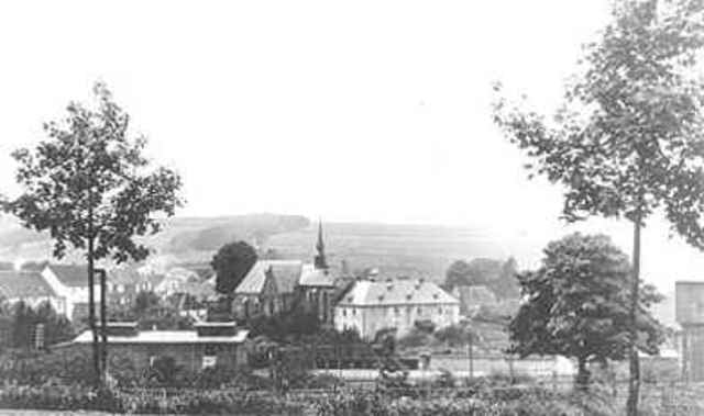
Tour zur fast höchsten Erhebung in Oberberg. Schöne Passagen , jedoch für MTB Freaks leider viel Asphalt zu fahren. Für Rennrad oder Crossrad jedoch ungeeignet.

Further information at

http://www.ibz-gimborn.de/home-de.html

Tour gallery

Tour map and elevation profile

  • Open Street Map
  • Google
Minimum height 198 m Maximum height 509 m Detailed view

More about the tour author

Schauferl
Member since 2006

Send private message

Comments

A4 Abfahrt Lindlar

GPS tracks

Trackpoints
  • GPX / Garmin Map Source (gpx) download
  • TCX / Garmin Training Center® (tcx) download
  • CRS / Garmin Training Center® (crs) download
  • Google Earth (kml) download
  • G7ToWin (g7t) download
  • TTQV (trk) download
  • Overlay (ovl) download
  • Fugawi (txt) download
  • Kompass (DAV) Track (tk) download
  • Track data sheet (pdf) download
  • Original file of the author (gpx) download

More about the tour author

Schauferl
Member since 2006

Send private message
Share track
Add to my favorites
Remove from my favorites
Edit tags
My score
Rate
Track: Lindlar Eibach Gimborn Marienheide Rodt Unnenberg
Type: Mountain bike
Distance: 59,6 km
Evaluated on:
Duration:
Day(s)
Hour(s)
Minute(s)
Score: Landscape Fun factor Fitness Technique