Login

Forgot your login?

Cookies have to be accepted!
Your browser's cookie functionality is disabled. Please enable this functionality.

Not a member yet?

Register now
Login

Available for registred users only

Log in to use this feature.

Forgot your login?

Cookies have to be accepted!
Your browser's cookie functionality is disabled. Please enable this functionality.

Not a member yet?

Register now
Filter
Categories
Advanced filters
  • Distance (km)
  • Height
Save filters Reset filter

TrackRank

QRCode

Technical data

Distance15,3 km Height125 m Way down136 m Duration00:55 h:m Date24.07.2012
Scores Author Landscape Fun factor Fitness Technique

Statistics

560 Views Scores 102 Downloads Average
Rate
  • Track data sheet
  • Directions
  • Downloads
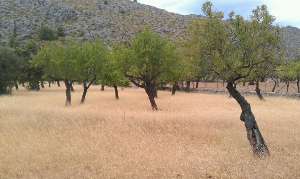
Kurze Runde im Hinterland von Pollenca. Es geht zumeist durch laendliches Gebiet an einigen schoenen Finkas vorbei. Ein einziger Huegel bei Cala de Sant Vincent ist leicht zu bezwingen. Herunter werden die meisten das Rad wohl schieben muessen (sind aber nur so in etwa 150m).

Tour gallery

Tour map and elevation profile

  • Open Street Map
  • Google
Minimum height 6 m Maximum height 78 m Detailed view

More about the tour author

keywan
Member since 2010

Send private message

Comments

GPS tracks

Trackpoints
  • GPX / Garmin Map Source (gpx) download
  • TCX / Garmin Training Center® (tcx) download
  • CRS / Garmin Training Center® (crs) download
  • Google Earth (kml) download
  • G7ToWin (g7t) download
  • TTQV (trk) download
  • Overlay (ovl) download
  • Fugawi (txt) download
  • Kompass (DAV) Track (tk) download
  • Track data sheet (pdf) download
  • Original file of the author (gpx) download

More about the tour author

keywan
Member since 2010

Send private message
Share track
Add to my favorites
Remove from my favorites
Edit tags
My score
Rate
Track: Pollenca
Type: Mountain bike
Distance: 15,3 km
Evaluated on:
Duration:
Day(s)
Hour(s)
Minute(s)
Score: Landscape Fun factor Fitness Technique