


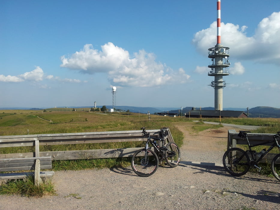
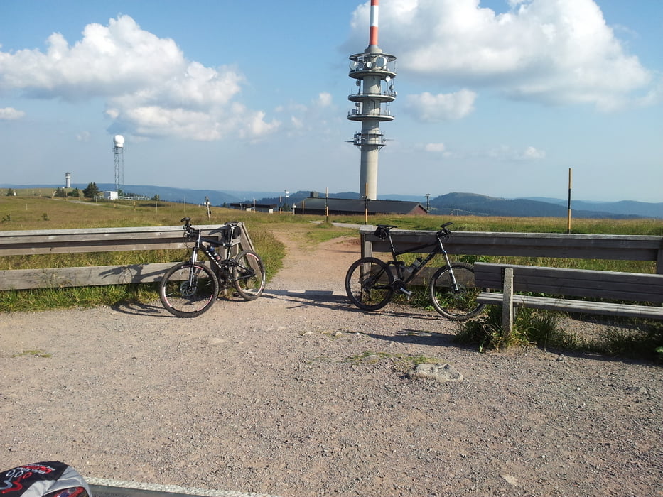
Von Parkplatz Äule bei Schluchsee / Aha geht es los. Von dort über Waldwege in Richtung 2Seenblick und dann rüber zum Caritashaus und weiter zum Feldberggipfel. Dann rüber zum Bismarkdenkmal und von dort runter zum Feldbergerhof und wieder über das Caritashaus runter zum Schluchsee.
Dort kann man sich dann im See abkühlen...
Further information at
http://www.hochschwarzwald.de/SchluchseeTour gallery
Tour map and elevation profile
Minimum height 941 m
Maximum height 1486 m
More about the tour author

|
forestrider |
Comments

Schluchsee erreicht man am Besten über Titisee-Neustadt / Bärenthal - oder von der anderen Seite über Bonndorf. Routenplaner bemühen... ;-)
GPS tracks
Trackpoints-
GPX / Garmin Map Source (gpx) download
-
TCX / Garmin Training Center® (tcx) download
-
CRS / Garmin Training Center® (crs) download
-
Google Earth (kml) download
-
G7ToWin (g7t) download
-
TTQV (trk) download
-
Overlay (ovl) download
-
Fugawi (txt) download
-
Kompass (DAV) Track (tk) download
-
Track data sheet (pdf) download
-
Original file of the author (tcx) download
More about the tour author
|
|
forestrider |
Add to my favorites
Remove from my favorites
Edit tags
Open track
My score
Rate