


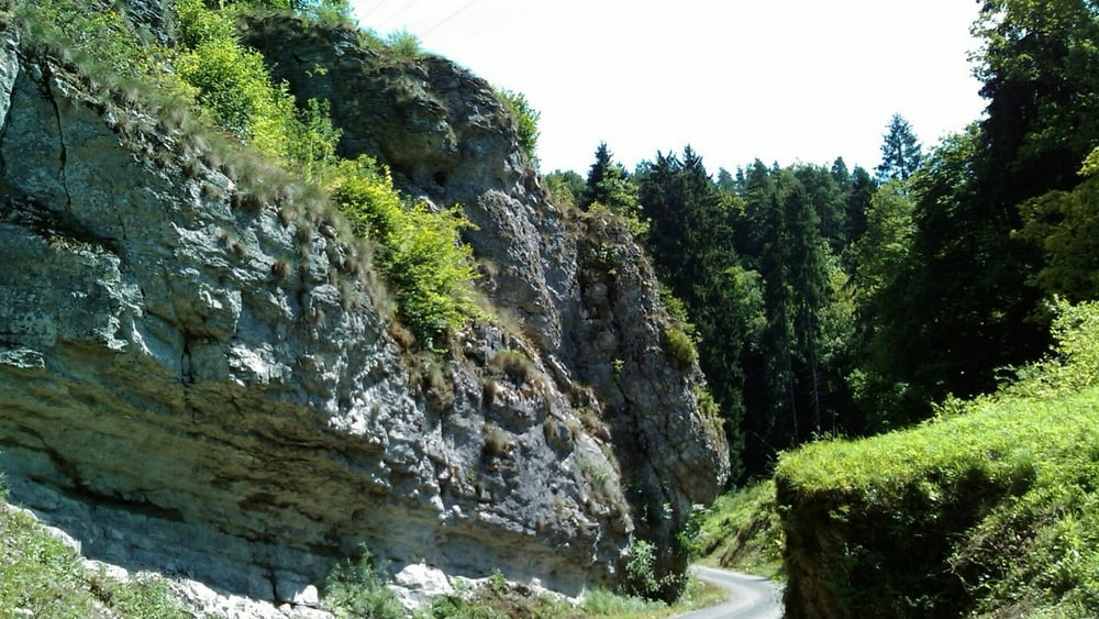
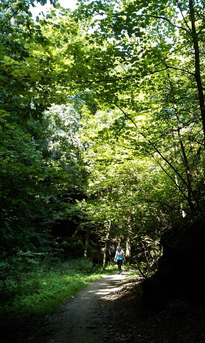
Vom Parkplatz nach rechts zur Leinleiter, auf Fuß-/ Radweg nach Veilbronn. Zwischen den Gasthöfen hindurch zum Leidingshofer Tal- ein kleines, romantisches Tälchen- aufwärts. Auf der Höhe mit "Frankenweg" rechts ab zum Pavillon mit schöner Aussicht auf Veilbronn/ Leinleiter- Tal. Stets mit dem Zeichen durch Wald, vor Störnhof rechts ab mit Zeichen "3" nach Unterleinleiter.
Tour gallery


Tour map and elevation profile
Minimum height 318 m
Maximum height 473 m
More about the tour author
|
|
heinz-57 |
Comments

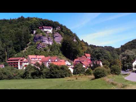
Auf der B470 von Ebermannstadt oder Streitberg kommend in Gasseldorf Richtung Heiligenstadt. Am Ortsende von Unterleinleiter rechts Parplatz.
GPS tracks
Trackpoints-
GPX / Garmin Map Source (gpx) download
-
TCX / Garmin Training Center® (tcx) download
-
CRS / Garmin Training Center® (crs) download
-
Google Earth (kml) download
-
G7ToWin (g7t) download
-
TTQV (trk) download
-
Overlay (ovl) download
-
Fugawi (txt) download
-
Kompass (DAV) Track (tk) download
-
Track data sheet (pdf) download
-
Original file of the author (gpx) download
More about the tour author
|
|
heinz-57 |
Add to my favorites
Remove from my favorites
Edit tags
Open track
My score
Rate