


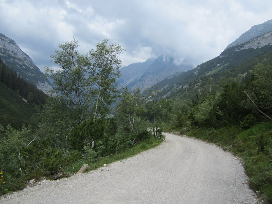
von Scharnitz zum Karwendelhaus kurze Auffahrt auf den Sattel mit Blick ins Engtal und wieder zurück nach Scharnitz.
Nach den ersten Höhenmetern geht es einige Kilometer eben oder leicht bergauf um am Ende des Tals dann gleichmäßig zum Karwendelhaus hinauf zu fahren. Vom Karwendelhaus toller Blick zurück ins Tal mit Blick auf die zurückgelegte Strecke.
Trotz mäßigem Wetter unter der Woche waren einige Biker unterwegs.
Tour gallery


Tour map and elevation profile
Minimum height 942 m
Maximum height 1793 m
More about the tour author

|
merida3000 |
Comments

GPS tracks
Trackpoints-
GPX / Garmin Map Source (gpx) download
-
TCX / Garmin Training Center® (tcx) download
-
CRS / Garmin Training Center® (crs) download
-
Google Earth (kml) download
-
G7ToWin (g7t) download
-
TTQV (trk) download
-
Overlay (ovl) download
-
Fugawi (txt) download
-
Kompass (DAV) Track (tk) download
-
Track data sheet (pdf) download
-
Original file of the author (gpx) download
More about the tour author
|
|
merida3000 |
Add to my favorites
Remove from my favorites
Edit tags
Open track
My score
Rate