

Zur Tour insgesamt; 7 Tage mit insgesamt etwa 400km und 12000 Hm
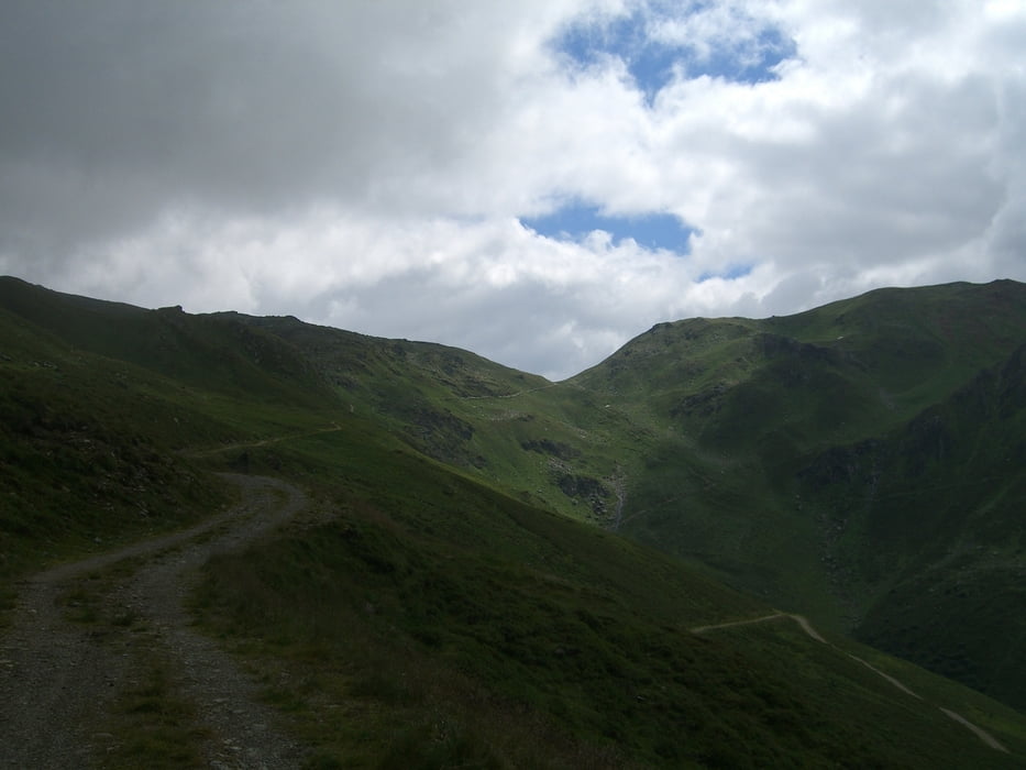
Tag 1 startet im Inntal in Schwaz (wer in Mittenwald/Lenggries/Schliersee starten will kann an Tag 1 durchs Karwendel fahren und diese Etappe als 2ten Tag nehmen) und zieht sich über Weerberg, Innerst über die Weidener Hütte (1800m) bis zum Gaiseljoch (2292m). Fast 1800Hm am Stück, die komplett fahrbar sind. Hinunter ins Zillertal gibt es zum einen den normalen Forstweg bis Vorderlanersback, ich hab mich am Weg 315 versucht, der sich etwas direkter talwärts schlängelt. Grösstenteils S1-S2 und allemal besser als der Forstweg. In Finkenberg zweigen wir rechts ab Richtung Ginzling.
Übernachtung im Hotel Schwarzenstein. nix zu meckern HP 47 EUR...
Tour gallery
Tour map and elevation profile
Minimum height 430 m
Maximum height 2293 m
More about the tour author
|
|
Thane |
Comments

GPS tracks
Trackpoints-
GPX / Garmin Map Source (gpx) download
-
TCX / Garmin Training Center® (tcx) download
-
CRS / Garmin Training Center® (crs) download
-
Google Earth (kml) download
-
G7ToWin (g7t) download
-
TTQV (trk) download
-
Overlay (ovl) download
-
Fugawi (txt) download
-
Kompass (DAV) Track (tk) download
-
Track data sheet (pdf) download
-
Original file of the author (gpx) download
More about the tour author
|
|
Thane |
Add to my favorites
Remove from my favorites
Edit tags
Open track
My score
Rate