Login

Forgot your login?

Cookies have to be accepted!
Your browser's cookie functionality is disabled. Please enable this functionality.

Not a member yet?

Register now
Login

Available for registred users only

Log in to use this feature.

Forgot your login?

Cookies have to be accepted!
Your browser's cookie functionality is disabled. Please enable this functionality.

Not a member yet?

Register now
Filter
Categories
Advanced filters
  • Distance (km)
  • Height
Save filters Reset filter

TrackRank

QRCode

Technical data

Distance78,1 km Height1608 m Way down1606 m Duration05:19 h:m Date29.07.2012
Scores Author Landscape Fun factor Fitness Technique

Statistics

181 Views Scores 15 Downloads Average
Rate
  • Track data sheet
  • Directions
  • Downloads

Rottenmann-Oppenberg-Aigen-Putterersee-Bad Mitterndorf-
Viehbergalm-Gröbming-Pruggern

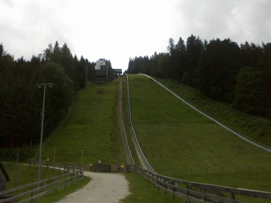
Ca die Hälfte Straßenkilometer, aber die Viehbergalm entschädigt für fast alles.
Hinunter wieder mal strömender Regen.
 

Tour gallery

Tour map and elevation profile

  • Open Street Map
  • Google
Minimum height 646 m Maximum height 1482 m Detailed view

More about the tour author

mitter
Member since 2008

Send private message

Comments

Sart in Rottenmann Gh Steinmetz. (gut!)

GPS tracks

Trackpoints
  • GPX / Garmin Map Source (gpx) download
  • TCX / Garmin Training Center® (tcx) download
  • CRS / Garmin Training Center® (crs) download
  • Google Earth (kml) download
  • G7ToWin (g7t) download
  • TTQV (trk) download
  • Overlay (ovl) download
  • Fugawi (txt) download
  • Kompass (DAV) Track (tk) download
  • Track data sheet (pdf) download
  • Original file of the author (gpx) download

More about the tour author

mitter
Member since 2008

Send private message
Share track
Add to my favorites
Remove from my favorites
Edit tags
My score
Rate
Track: Viehberg
Type: Mountain bike
Distance: 78,1 km
Evaluated on:
Duration:
Day(s)
Hour(s)
Minute(s)
Score: Landscape Fun factor Fitness Technique