


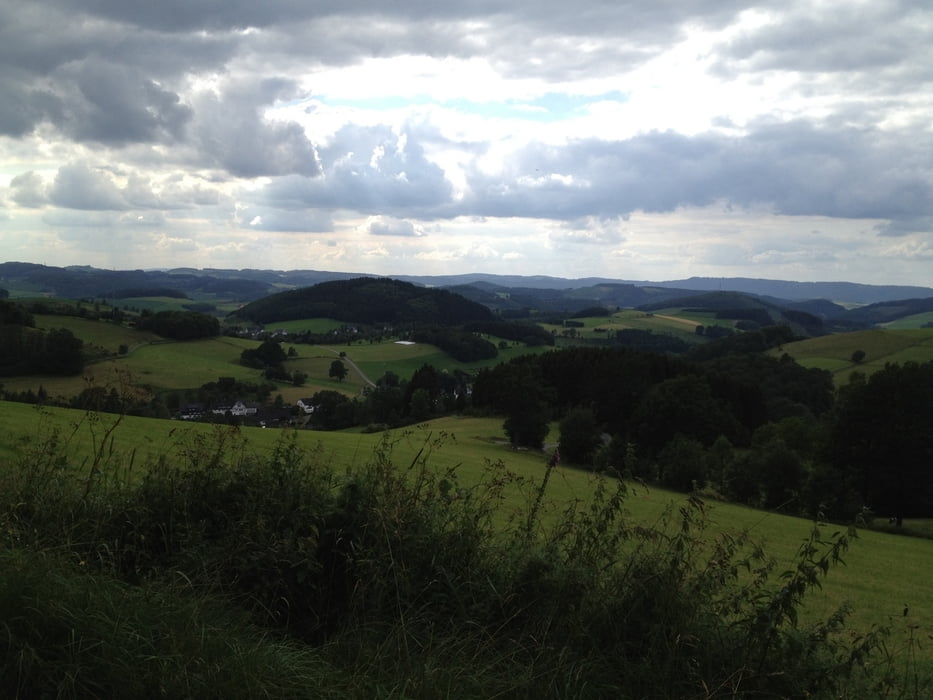
Das ist eine Abendtour um mal den Familienwahnsinn zu entfliehen. Die Tour führt ausschliesslich auf gut befahrbaren Forstwegen (Schotter, Asphalt) und stellt kaum Anforderungen an das fahrerische Können. Man hat sehr schöne Ausblicke, lange Steigungen und rasante Abfahrten.
Further information at
http://www.altenilpe.de/Tour gallery

Tour map and elevation profile
Minimum height 448 m
Maximum height 629 m
More about the tour author
|
|
Harm |
Comments

Start ist die Kirche in Altenilpe, Parkplätze sind vorhanden, ebenso wie ein Restaurant, das nur an von Fr bis So geöffnet hat.
GPS tracks
Trackpoints-
GPX / Garmin Map Source (gpx) download
-
TCX / Garmin Training Center® (tcx) download
-
CRS / Garmin Training Center® (crs) download
-
Google Earth (kml) download
-
G7ToWin (g7t) download
-
TTQV (trk) download
-
Overlay (ovl) download
-
Fugawi (txt) download
-
Kompass (DAV) Track (tk) download
-
Track data sheet (pdf) download
-
Original file of the author (gpx) download
More about the tour author
|
|
Harm |
Add to my favorites
Remove from my favorites
Edit tags
Open track
My score
Rate