Login

Forgot your login?

Cookies have to be accepted!
Your browser's cookie functionality is disabled. Please enable this functionality.

Not a member yet?

Register now
Login

Available for registred users only

Log in to use this feature.

Forgot your login?

Cookies have to be accepted!
Your browser's cookie functionality is disabled. Please enable this functionality.

Not a member yet?

Register now
Filter
Categories
Advanced filters
  • Distance (km)
  • Height
Save filters Reset filter

TrackRank

QRCode

Technical data

Distance35,4 km Height562 m Way down558 m Duration02:30 h:m Date30.07.2012
Scores Author Landscape Fun factor Fitness Technique

Statistics

1244 Views Scores 109 Downloads Average
Rate
  • Track data sheet
  • Directions
  • Downloads

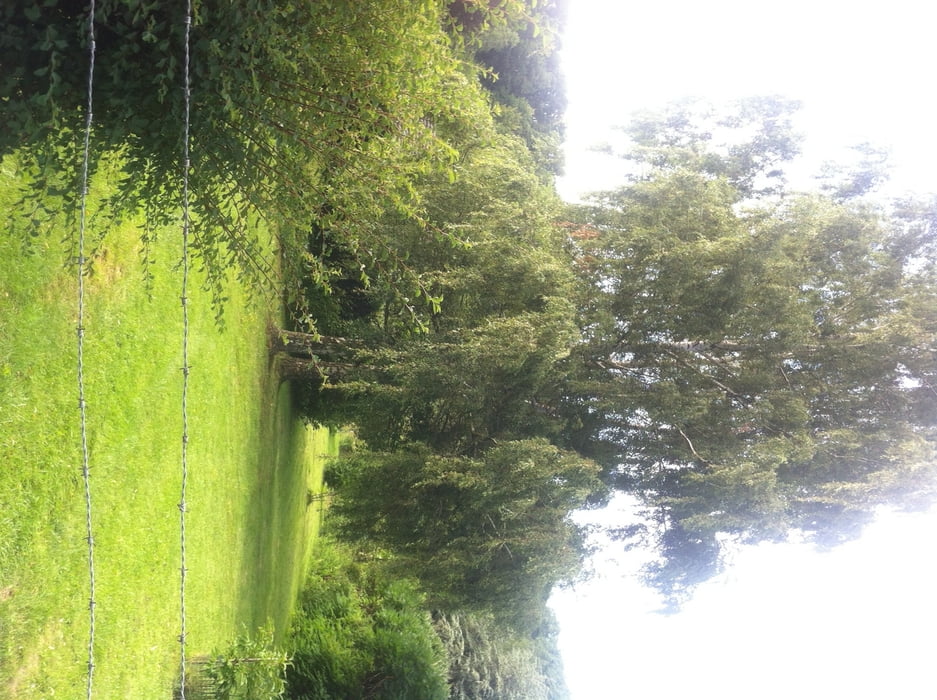
Die Tour sollte im Uhrzeigersinn gefahren werden, Start an der S-Bahn- Haltestelle Leonberg - Silberberg. Die Tour enthält 4 schöne Trails und einige knackige Anstiege.

Im Krummbachtal kann man im Naturfreundehaus gut eingekehren. bevor ein recht heftiger Anstieg zu einem der schönsten Trails der Gegend führt.

Further information at

http://www.waldgasthaus-krummbachtal.de/

Tour gallery

Tour map and elevation profile

  • Open Street Map
  • Google
Minimum height 360 m Maximum height 504 m Detailed view

More about the tour author

Hemmingen
Member since 2005

Send private message

Comments

Parkplatz an der S-Bahnstadion

GPS tracks

Trackpoints
  • GPX / Garmin Map Source (gpx) download
  • TCX / Garmin Training Center® (tcx) download
  • CRS / Garmin Training Center® (crs) download
  • Google Earth (kml) download
  • G7ToWin (g7t) download
  • TTQV (trk) download
  • Overlay (ovl) download
  • Fugawi (txt) download
  • Kompass (DAV) Track (tk) download
  • Track data sheet (pdf) download
  • Original file of the author (gpx) download

More about the tour author

Hemmingen
Member since 2005

Send private message
Share track
Add to my favorites
Remove from my favorites
Edit tags
My score
Rate
Track: Silberberg-Krummbachtal
Type: Mountain bike
Distance: 35,4 km
Evaluated on:
Duration:
Day(s)
Hour(s)
Minute(s)
Score: Landscape Fun factor Fitness Technique