Login

Forgotten password?

Cookies have to be accepted!
Your browser's cookie functionality is disabled. Please enable this functionality.

Not a member yet?

Register now
Login

Available for registred users only

Log in to use this feature.

Forgotten password?

Cookies have to be accepted!
Your browser's cookie functionality is disabled. Please enable this functionality.

Not a member yet?

Register now
Filter
Categories
Advanced filters
  • Distance (km)
  • Height
Save filters Reset filter

TrackRank

QRCode

Technical data

Distance128,5 km Height1297 m Way down1369 m Duration10:00 h:m Date31.07.2012
Scores Author Landscape Fun factor Fitness Technique

Statistics

391 Views Scores 12 Downloads Average
Rate
  • Track data sheet
  • Directions
  • Downloads

Further information at

http://thorsten-bachner.de

Tour gallery

Tour map and elevation profile

  • Open Street Map
  • Google
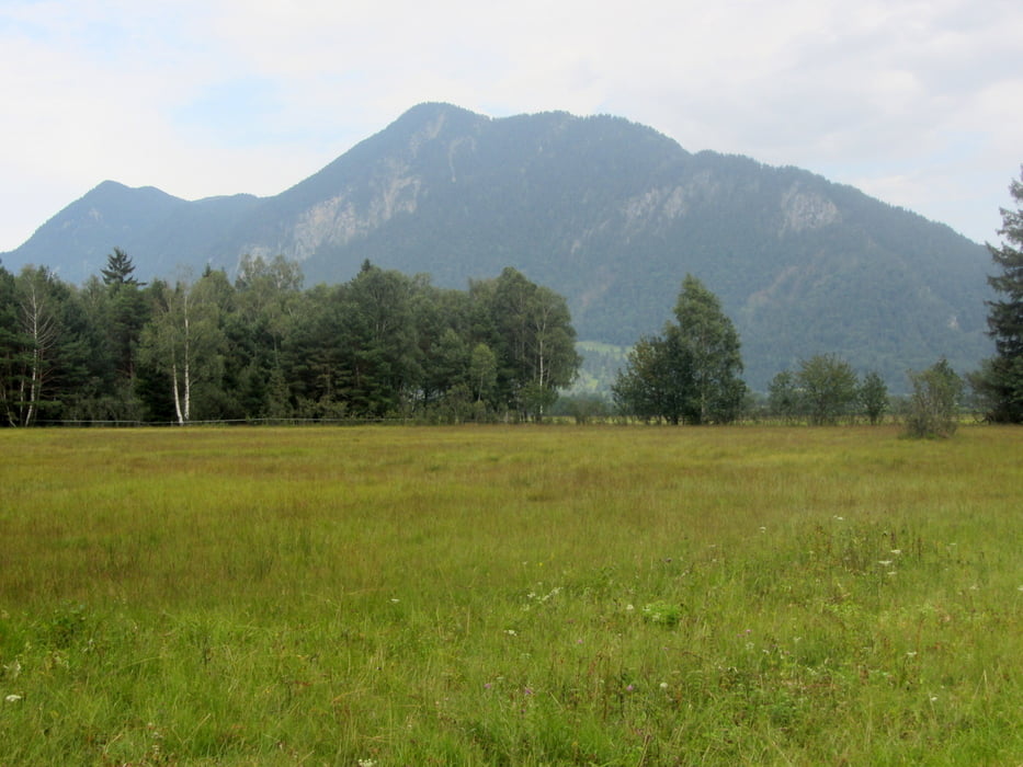
Minimum height 624 m Maximum height 997 m Detailed view

More about the tour author

tbachner
Member since 2007

Send private message

Comments

Die Anreise aus dem Ruhrgebiet erfolgte mit vier Personen und  vier Rädern mit der Bahn. Das Quer-durch-das-Land-Ticket erlaubt uns die Anreise nach Immenstadt. Euro.

Nachteil dieser Variante: Häufiges Umsteigen.

GPS tracks

Trackpoints
  • GPX / Garmin Map Source (gpx) download
  • TCX / Garmin Training Center® (tcx) download
  • CRS / Garmin Training Center® (crs) download
  • Google Earth (kml) download
  • G7ToWin (g7t) download
  • TTQV (trk) download
  • Overlay (ovl) download
  • Fugawi (txt) download
  • Kompass (DAV) Track (tk) download
  • Track data sheet (pdf) download
  • Original file of the author (gpx) download

More about the tour author

tbachner
Member since 2007

Send private message
Share track
Add to my favorites
Remove from my favorites
Edit tags
My score
Rate
Track: Immenstadt - Murnau am Staffelsee
Type: Trekkingbike
Distance: 128,5 km
Evaluated on:
Duration:
Day(s)
Hour(s)
Minute(s)
Score: Landscape Fun factor Fitness Technique