


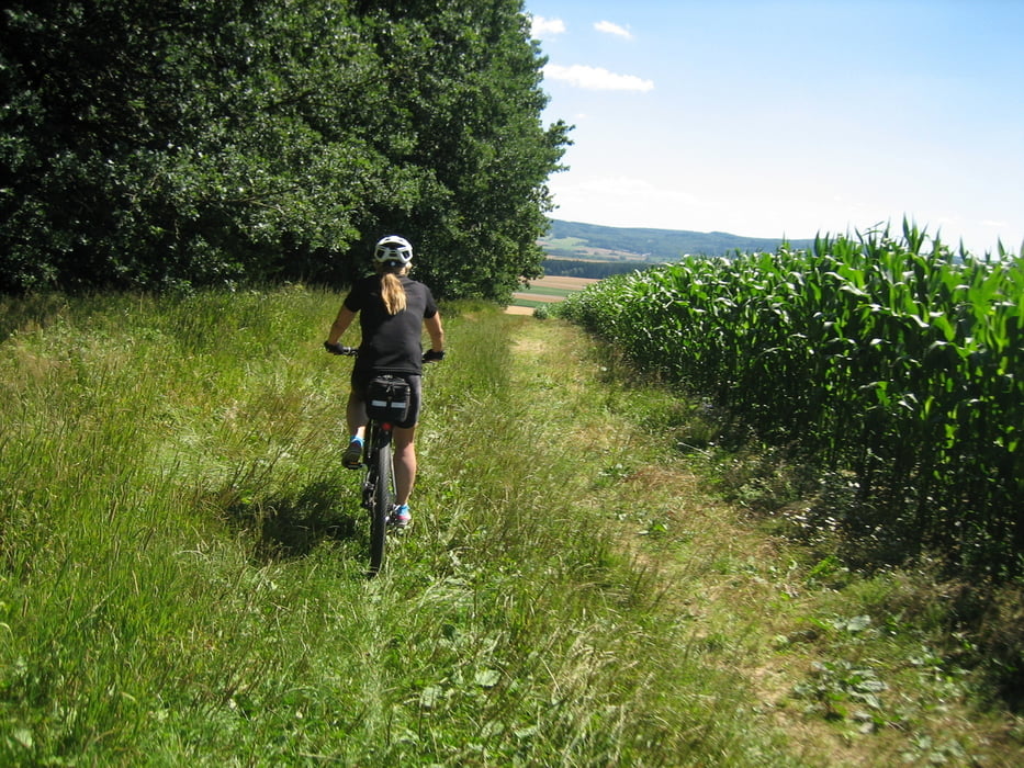
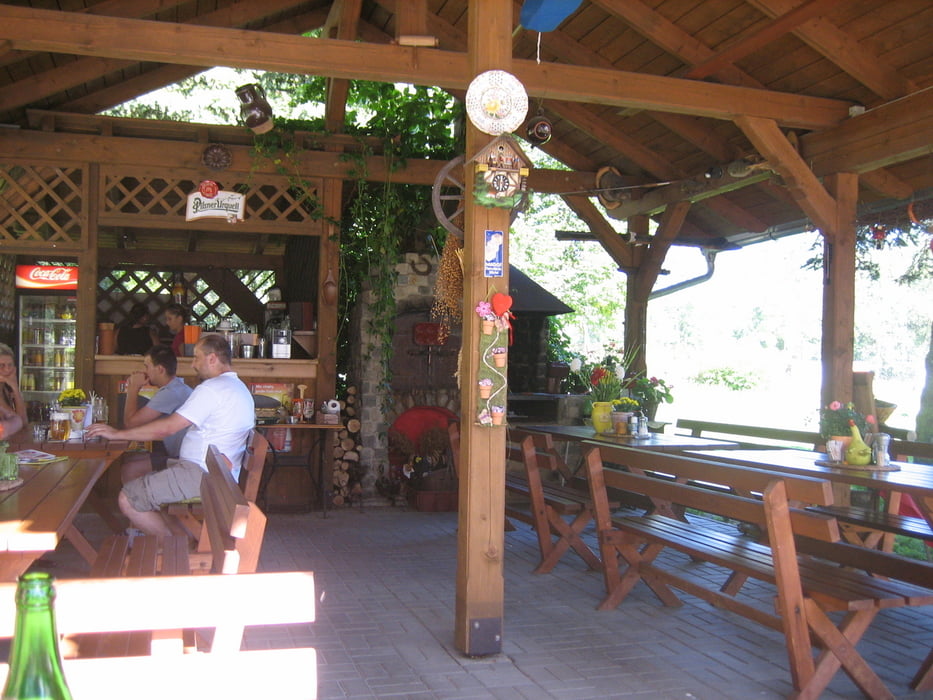
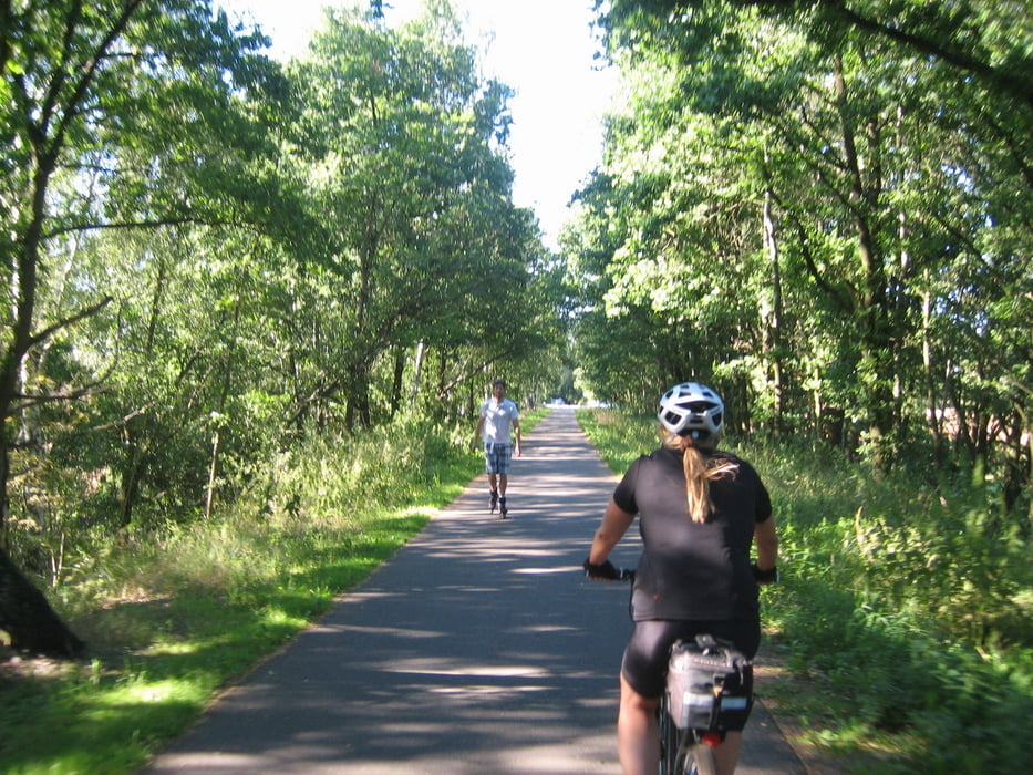
Schöne Tour die uns auf den Arzberger Kohlberg führte. Danach ging es weiter über Seedorf und bei Pechnersreuth fuhren wir über die Grenze. Bei Swaty Kriz wurde noch Geld getauscht bevor es nach in den Biergarten nach Hroznatov ging. Ein loakaler Biker zeigte uns danach einen kurzen Trail der es in sich hat, außerdem ist eine weitere Möglichkeit auf den Radweg von Slapany in Richtung Haje zu kommen.
Tour gallery
Tour map and elevation profile
Minimum height 453 m
Maximum height 621 m
More about the tour author
|
|
Bernd-Ghostbiker |
Comments

Startpunkt ist Thiersheim. Anreise per PKW: aus Richtung Regensburg - Weiden A 93 in Richtung Berlin Ausfahrt Thiersheim aus Richtung Nürnberg - Bayreuth A 9 in Richtung Berlin Ausfahrt Bad Berneck und dann durch das Fichtelgebirge über Tröstau, Wunsiedel, Marktredwitz nach Thiersheim oder Ausfahrt Gefrees über Weißenstadt, Röslau, Bernstein nach Thiersheim
GPS tracks
Trackpoints-
GPX / Garmin Map Source (gpx) download
-
TCX / Garmin Training Center® (tcx) download
-
CRS / Garmin Training Center® (crs) download
-
Google Earth (kml) download
-
G7ToWin (g7t) download
-
TTQV (trk) download
-
Overlay (ovl) download
-
Fugawi (txt) download
-
Kompass (DAV) Track (tk) download
-
Track data sheet (pdf) download
-
Original file of the author (gpx) download
More about the tour author
|
|
Bernd-Ghostbiker |
Add to my favorites
Remove from my favorites
Edit tags
Open track
My score
Rate