


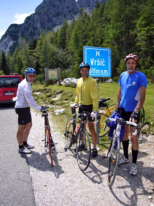
Podkoren - Vršič Pass [1.611 m] - Trenta - Ravna - Passo del Predil [1.156 m] - Bovec
Die Kehren in der Auffahrt des Vršič Passes sind mit Kopfsteinen gepflastert. Der Passo Predil wurde von der Slowenischen Seite angefahren und auf der gleichen Route wieder ins Tal zurückgerollt. War nur eine Zusatzetappe, weil wir die Tagesetappe nicht wie geplant fahren konnten.
Further information at
http://www.velotouren.net/radtouren/eurovelo/alpen2012/nachbereitung/etappen/etappe3/Tour gallery


Tour map and elevation profile
Minimum height 430 m
Maximum height 1602 m
More about the tour author
|
|
Moppedcarlo |
Comments

GPS tracks
Trackpoints-
GPX / Garmin Map Source (gpx) download
-
TCX / Garmin Training Center® (tcx) download
-
CRS / Garmin Training Center® (crs) download
-
Google Earth (kml) download
-
G7ToWin (g7t) download
-
TTQV (trk) download
-
Overlay (ovl) download
-
Fugawi (txt) download
-
Kompass (DAV) Track (tk) download
-
Track data sheet (pdf) download
-
Original file of the author (gpx) download
More about the tour author
|
|
Moppedcarlo |
Add to my favorites
Remove from my favorites
Edit tags
Open track
My score
Rate