


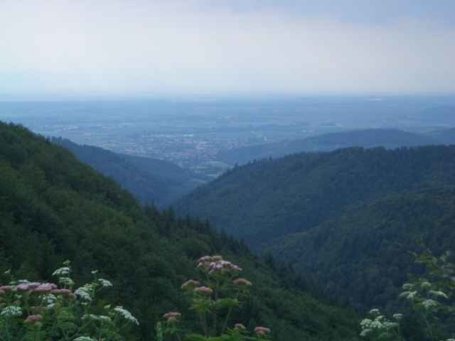
Es handelt sich bei der Tour um eine von der Gemeinde Münstertal ausgeschilderte Tour, die am Bahnhof Münstertal beginnt. Von dort aus geht es recht bald in den Wald und dann lange Zeit aufwärts. Man kommt beim Kohlerhof vorbei, wo man einkehren und Wasser nachfüllen kann. Danach geht es dann irgendwann auf Singletrails und Schotterpfaden talwärts. Zum Schluss geht es am Hang entlang zurück zum Bahnhof. Insgesamt eine nette Runde, auf der man zwischendurch schöne Ausblicke auf die Rheinebene und das Münstertal hat.
Tour gallery
Tour map and elevation profile
Minimum height 374 m
Maximum height 941 m
More about the tour author

|
fogg |
Comments

Man kann mit dem Auto oder der Bahn bis zum Bahnhof Münstertal fahren. Dort kann man das Auto auch abstellen.
GPS tracks
Trackpoints-
GPX / Garmin Map Source (gpx) download
-
TCX / Garmin Training Center® (tcx) download
-
CRS / Garmin Training Center® (crs) download
-
Google Earth (kml) download
-
G7ToWin (g7t) download
-
TTQV (trk) download
-
Overlay (ovl) download
-
Fugawi (txt) download
-
Kompass (DAV) Track (tk) download
-
Track data sheet (pdf) download
-
Original file of the author (gpx) download
More about the tour author
|
|
fogg |
Add to my favorites
Remove from my favorites
Edit tags
Open track
My score
Rate