
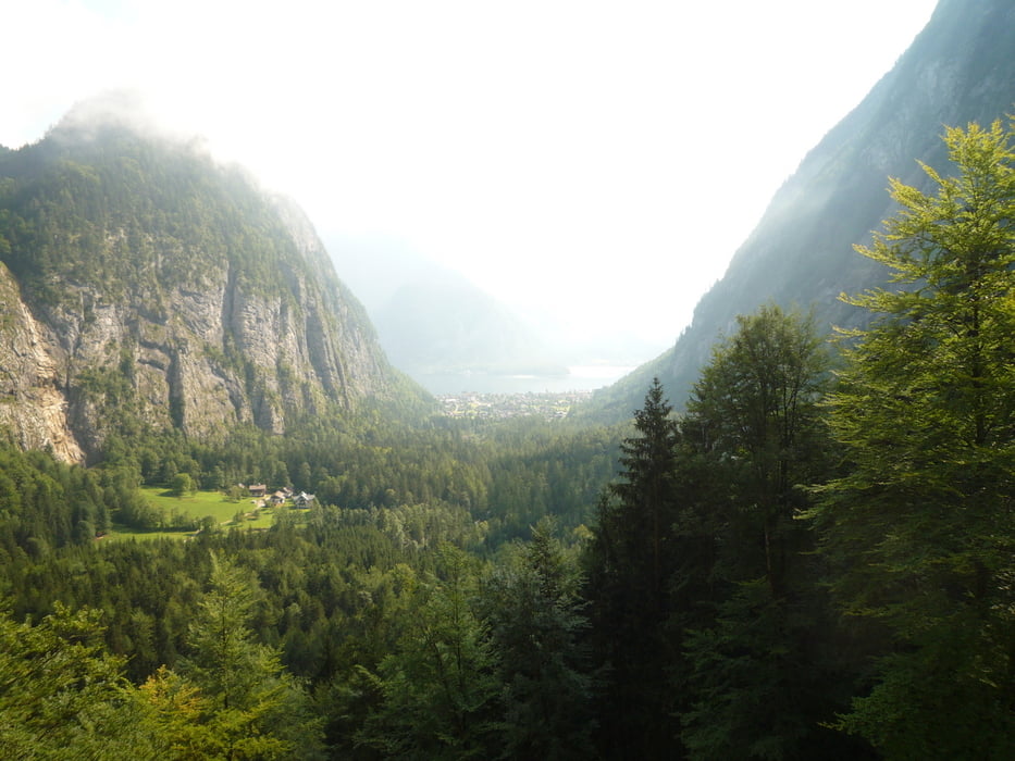

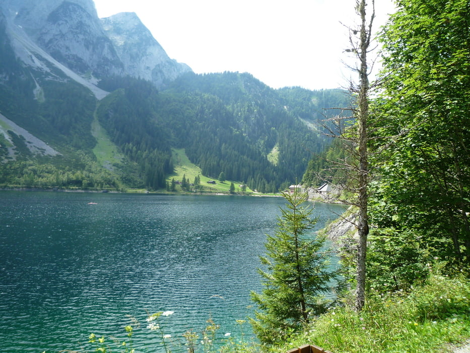
Die Tour stellt eine Variante aus der Tourenauswahl des Mountainbiketourenführers Oberösterreich dar. Im Gegensatz zu anderen Touren führt sie nur über für MTB geöffnete Wege und kommt gänzlich ohne Trage- oder Schiebestrecken aus. Den Abstecher zur Schreieralm kann man sich getrost schenken. Zum Einkehren bietet sich die Roßalm an. Falls das Wetter zum Ende nicht mitspielt, kann man den 2. Anstieg über die Schäferalm auslassen und entlang der Straße zurück zum Hallstätter See fahren.
Tour gallery

Tour map and elevation profile
Minimum height 480 m
Maximum height 1499 m
More about the tour author

|
aschwerdt |
Comments

GPS tracks
Trackpoints-
GPX / Garmin Map Source (gpx) download
-
TCX / Garmin Training Center® (tcx) download
-
CRS / Garmin Training Center® (crs) download
-
Google Earth (kml) download
-
G7ToWin (g7t) download
-
TTQV (trk) download
-
Overlay (ovl) download
-
Fugawi (txt) download
-
Kompass (DAV) Track (tk) download
-
Track data sheet (pdf) download
-
Original file of the author (gpx) download
More about the tour author
|
|
aschwerdt |
Add to my favorites
Remove from my favorites
Edit tags
Open track
My score
Rate