


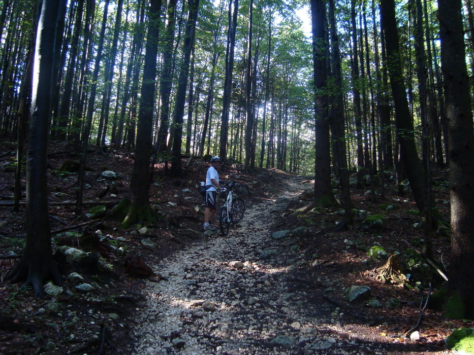
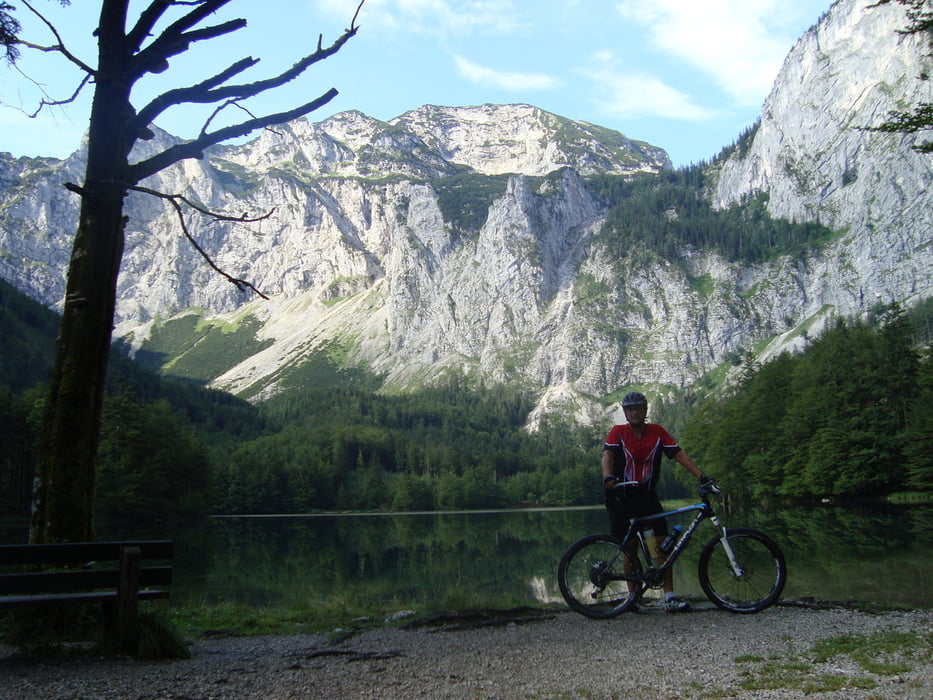
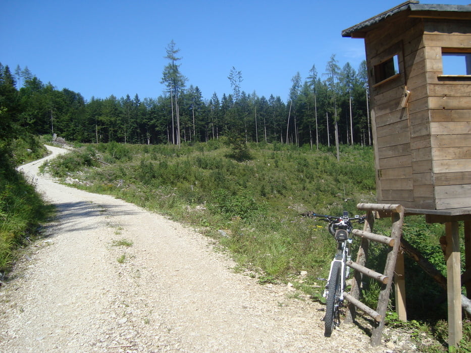
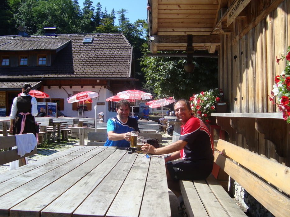
Ausgangspunkt ist ein Parkplatz mitten in Weyregg neben der Feuerwehr. Über Bach gehts auf einer Forststrasse zur Großalmstrasse, diese überqueren und weiter zu den Langbathseen. Dann runter Richtung Ebensee und links hinauf zur Hochsteinalm. Kurze aber super Trails runter zur Großalmstrasse und gleichen Weg zurück nach Weyregg. Die Tour geht meist über Forststrassen, ist durch ein ewiges auf und ab eine anstrengende aber sehr schöne Runde. Einkehrmöglichkeiten gibt es an den Langbathseen und auf der Hochsteinalm.
mehr Bilder: seppdepp.heim.at
Tour gallery
Tour map and elevation profile
Minimum height 479 m
Maximum height 1026 m
More about the tour author
|
|
Atzbach |
Comments

GPS tracks
Trackpoints-
GPX / Garmin Map Source (gpx) download
-
TCX / Garmin Training Center® (tcx) download
-
CRS / Garmin Training Center® (crs) download
-
Google Earth (kml) download
-
G7ToWin (g7t) download
-
TTQV (trk) download
-
Overlay (ovl) download
-
Fugawi (txt) download
-
Kompass (DAV) Track (tk) download
-
Track data sheet (pdf) download
-
Original file of the author (gpx) download
More about the tour author
|
|
Atzbach |
Add to my favorites
Remove from my favorites
Edit tags
Open track
My score
Rate