
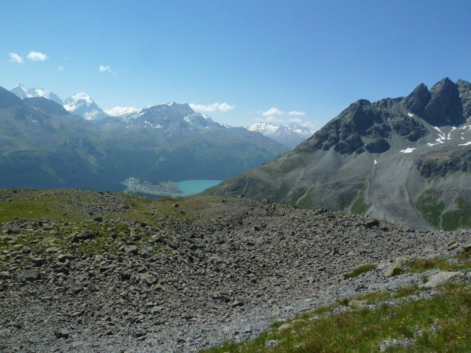

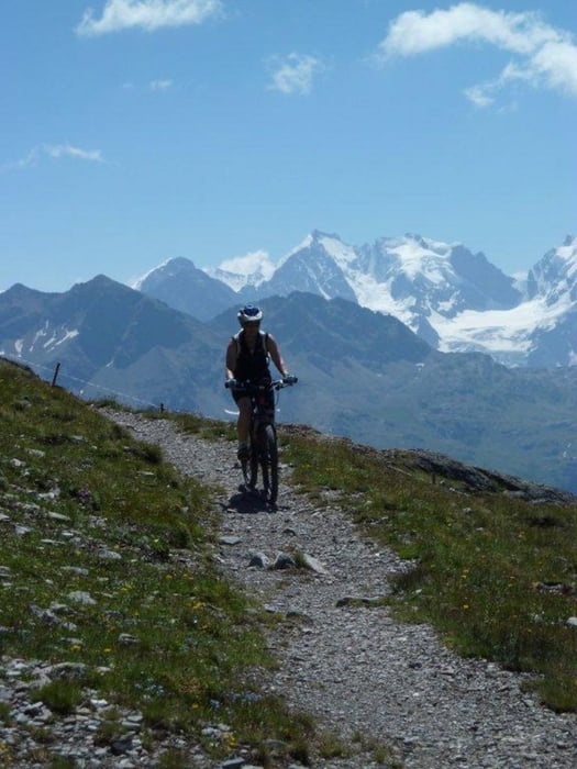
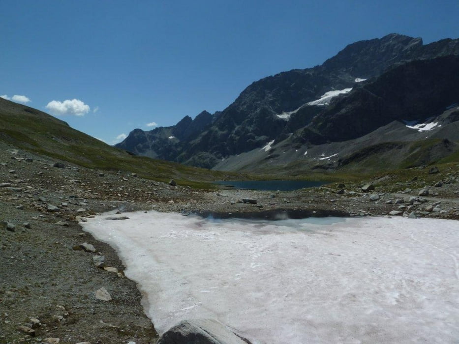
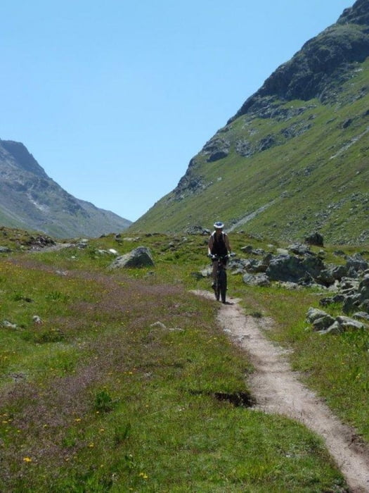
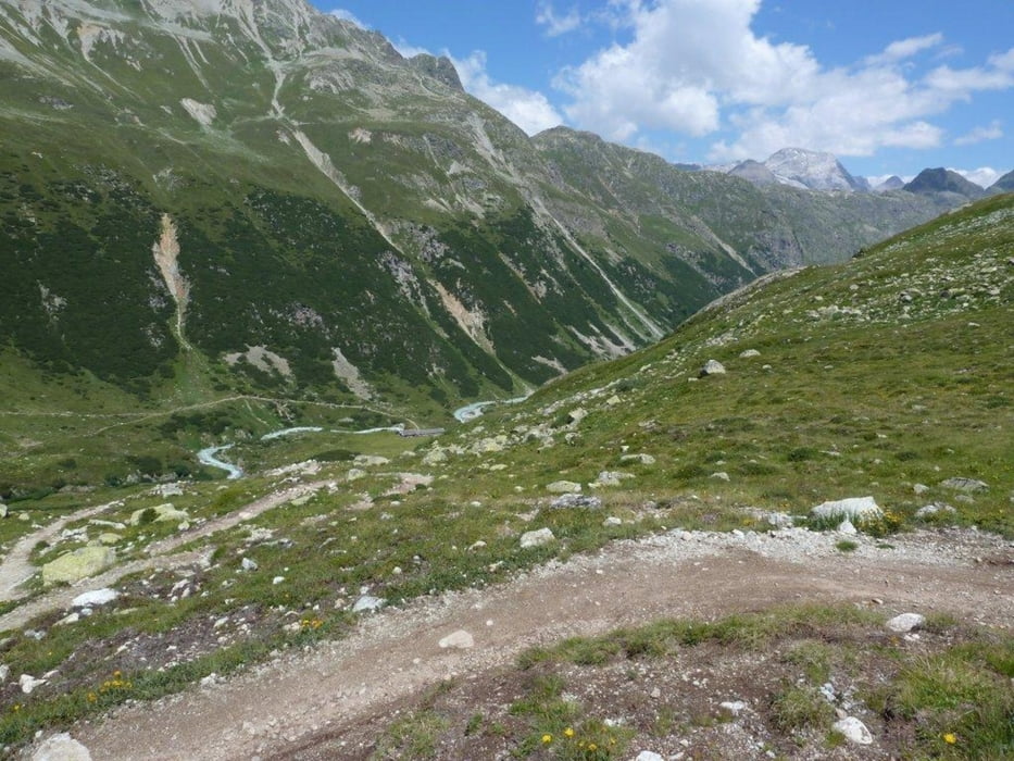
Damit wir nicht zu viele Höhenmeter absolvieren mussten, sind wir mit der Corviglibahn von St.Moritz bis zur Corviglia auf 2486m hochgefahren. Die Tour ist für konditionell gut trainierte und technisch versierte gut fahrbar. Wir als Amateure mussten die erste steile Rampe bis nach der Alpinahütte schieben. Bis zum Suvrettapass mussten wir aus Sicherheitsgründen einige Male ganz kurz absteigen. Ebenfalls in den steilen engen Kurven vor Zembers da Suvretta im Beversertal, mussten wir die Bikes ca. 500m schieben. Die Tour rund um den Piz Nair bietet viele schöne Aussichtspunkte. Die Abfahrt dem Beverin entlang durch das Val Bever ist wunderschön. In Spinas kann man sich bestens verpflegen. Eine sehr lohnende Tour für Amateure im Hochgebirge.
Tour gallery
Tour map and elevation profile
Minimum height 1715 m
Maximum height 2688 m
More about the tour author

|
ThomasGuenthert |
Comments

Mit öffentlichen Verkehr bis St.Moritz. Mit Corviglia Bahn bis Corviglia
GPS tracks
Trackpoints-
GPX / Garmin Map Source (gpx) download
-
TCX / Garmin Training Center® (tcx) download
-
CRS / Garmin Training Center® (crs) download
-
Google Earth (kml) download
-
G7ToWin (g7t) download
-
TTQV (trk) download
-
Overlay (ovl) download
-
Fugawi (txt) download
-
Kompass (DAV) Track (tk) download
-
Track data sheet (pdf) download
-
Original file of the author (gpx) download
More about the tour author
|
|
ThomasGuenthert |
Add to my favorites
Remove from my favorites
Edit tags
Open track
My score
Rate