
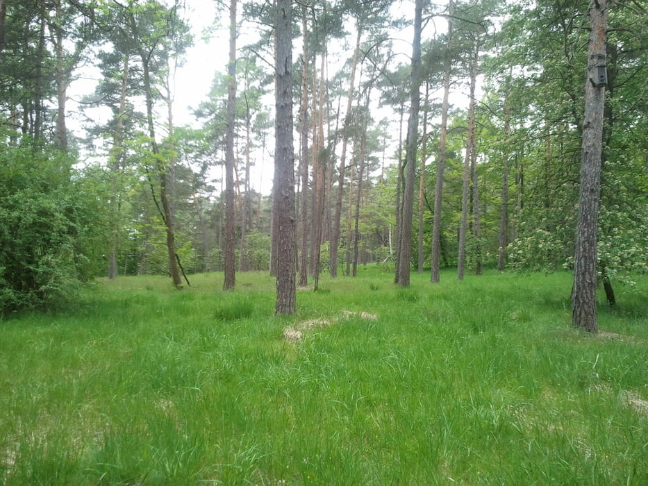

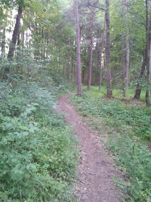
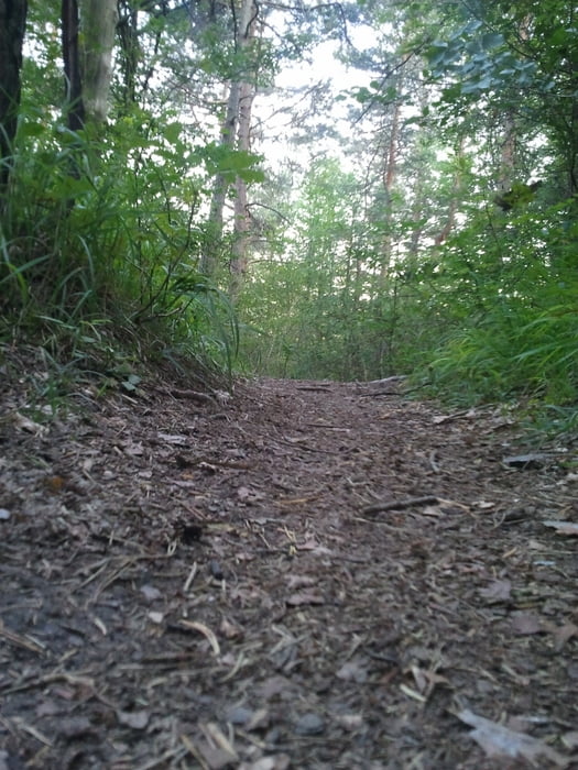
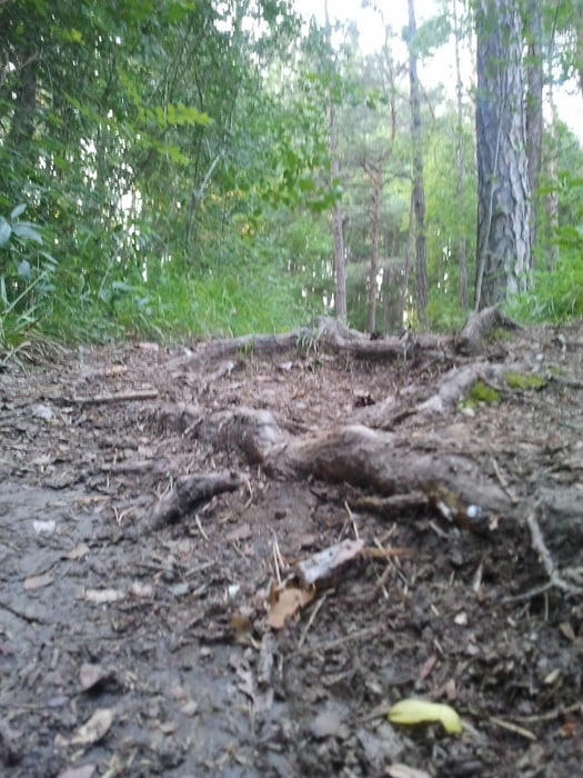
Abwechslungsreiche Mountainbikerunde über Feld- Wald- und Wiesenwege:
Ein paar schöne Singletrails hats auch mit dabei - genauso, wie ein paar giftige Anstiege ;-)
Von:
Döffingen nach Dätzingen über Schafhausen nach Weil der Stadt in Richtung Simmozheim dann nach Ostelsheim, über Dätzingen in Richtung Gechingen u. Lehenweiler, zurück nach Dätzingen u. dann zurück zum Ausgangspunkt nach Döffingen.
Tour gallery
Tour map and elevation profile
Minimum height 398 m
Maximum height 569 m
More about the tour author

|
Theodoronto |
Comments

Start und Ziel der Runde ist in 71120 Grafenau (Döffingen) beim EDEKA Markt.
GPS tracks
Trackpoints-
GPX / Garmin Map Source (gpx) download
-
TCX / Garmin Training Center® (tcx) download
-
CRS / Garmin Training Center® (crs) download
-
Google Earth (kml) download
-
G7ToWin (g7t) download
-
TTQV (trk) download
-
Overlay (ovl) download
-
Fugawi (txt) download
-
Kompass (DAV) Track (tk) download
-
Track data sheet (pdf) download
-
Original file of the author (gpx) download
More about the tour author
|
|
Theodoronto |
Add to my favorites
Remove from my favorites
Edit tags
Open track
My score
Rate