


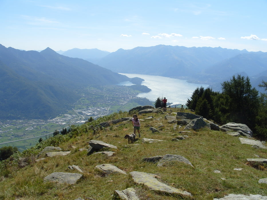
einfachere Tour von Cino (bei Mantello) am Mt. Bassetta nach Prati dell ´O - auf den Mt. Basetta verlangerbar (+650hm)
hinauf auf meist betonierter Mautstraße (Auto möglich, 5Euro Tageskarte bei Bar in Cino), hinunter auf altem S1 Naturweg (Singletrail) nach Cino. Den Tip für die Strecke habe ich von Stefano, dem Almwirt am Mt. Basetta. Start in erhöhter Lage beim Sportplatz in Cino (Wegpunkt Start). Alternative Auffahrt über La Piazza oder die Mt. Basetta Endurotour.
Hinunter von ca. 1200m bei Prati Dell Ó nach Cino auf gut erhaltem Eselweg (Naturuntergrund), nicht zu steil mit vielen Kehren. Schwierigkeit der Strecke max. Singletrailstufe S1 (dennoch Absturzgefahr/alpine Gefahren) .
Für tragewillige kann die Tour von 1200m auf 1850m verlängert werden (Track oberhalb Prati dell Ó nur optional dabei) . Die Abfahrt vom Mt. Basetta hat S2 Niveau und endet in Prati Dell ´O. zur eigentlichen einfachen S1 Abfahrt der Tour hier.
Eine weitere Verlängerung wäre über Cino zur La Piazzatour möglich. Dann allerdings bei ca. 700m vor der Brücke nach San Guilliano rechts Richtung Nouvo Olinio (S2) abbiegen.
Further information at
http://www.comersee-aktiv.comTour gallery
Tour map and elevation profile
Minimum height 221 m
Maximum height 1726 m
More about the tour author
|
|
skyhopper |
Comments

Anfahrt mit Auto über Mantello nach Cino, dort links ums Dorf herum zum Sportplatz (Centro Sportivo). Auffahrt mit normalen Auto´s (mit etwas Bodenfreiheit) und geringerer Geschwindigkeit möglich, Mautticket in der Bar in Cino 5Euro.
GPS tracks
Trackpoints-
GPX / Garmin Map Source (gpx) download
-
TCX / Garmin Training Center® (tcx) download
-
CRS / Garmin Training Center® (crs) download
-
Google Earth (kml) download
-
G7ToWin (g7t) download
-
TTQV (trk) download
-
Overlay (ovl) download
-
Fugawi (txt) download
-
Kompass (DAV) Track (tk) download
-
Track data sheet (pdf) download
-
Original file of the author (gpx) download
More about the tour author
|
|
skyhopper |
Add to my favorites
Remove from my favorites
Edit tags
Open track
My score
Rate