


von Marquartstein auf Forststraße zur Jochbergalm (Einkehrmöglichkeit) Abfahrt zum Röthelmoos und steil zum Kanonenpaß hinauf, Abfahrt nach Oberwössen (Brem), bei Ankunft an B-305 unmittelbar rechts auf schmalen zum Teil ausgesetzten Trail oberhalb vom Wössner See entlang zum Ortsteil Au in Unterwössen, weiter auf Richard-Strauß-Höhenweg zum Ausgangspunkt.
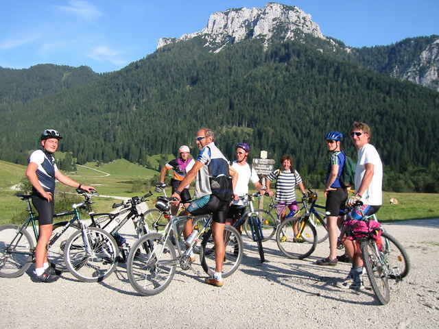
Die Tour bietet alles was diesen Sport so schön macht: Kein Rummel immer wechselnde Eindrücke und nie langweilig.
Die Tour bietet alles was diesen Sport so schön macht: Kein Rummel immer wechselnde Eindrücke und nie langweilig.
Tour gallery
Tour map and elevation profile
Minimum height 538 m
Maximum height 1255 m
More about the tour author
|
|
Montecevedale |
Comments

B-305 Marquartstein über alte Achenbrücke den Burgweg hinauf zum Wandererparkplatz (Hochgerngebiet)
GPS tracks
Trackpoints-
GPX / Garmin Map Source (gpx) download
-
TCX / Garmin Training Center® (tcx) download
-
CRS / Garmin Training Center® (crs) download
-
Google Earth (kml) download
-
G7ToWin (g7t) download
-
TTQV (trk) download
-
Overlay (ovl) download
-
Fugawi (txt) download
-
Kompass (DAV) Track (tk) download
-
Track data sheet (pdf) download
-
Original file of the author (gpx) download
More about the tour author
|
|
Montecevedale |
Add to my favorites
Remove from my favorites
Edit tags
Open track
My score
Rate