


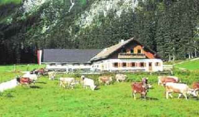
Los gehts direkt in Bad Hindelang. Über die Alte Jochstraße fahren wir entlang der historischen Salzstraße mit Grenzübertritt nach Österreich in´s Tannheimer Tal. Hier liegt in traumhafter Lage der Vilsalpsee. Zur gemütlichen Brotzeit radeln wir um den See zur Vilsalpe. Von dort aus kann man noch etwas weiterradeln. Als Entschädigung hierfür, gibt den Blick auf einen wunderschönen Wasserfall.
Zurück geht´s über Unterjoch nach Bad Hindelang.
Zurück geht´s über Unterjoch nach Bad Hindelang.
Further information at
http://www.tannheimertal.com/home/index.html/_lang/de/_area/sommer/_subArea/340444/_articleId/340836Tour gallery
Tour map and elevation profile
Minimum height 817 m
Maximum height 1301 m
More about the tour author

|
Comments

Sonthofen in Richtung Bad-Hindelang. Parkmöglichkeiten am Busbahnhof.
GPS tracks
Trackpoints-
GPX / Garmin Map Source (gpx) download
-
TCX / Garmin Training Center® (tcx) download
-
CRS / Garmin Training Center® (crs) download
-
Google Earth (kml) download
-
G7ToWin (g7t) download
-
TTQV (trk) download
-
Overlay (ovl) download
-
Fugawi (txt) download
-
Kompass (DAV) Track (tk) download
-
Track data sheet (pdf) download
-
Original file of the author (gpx) download
More about the tour author
|
|
Add to my favorites
Remove from my favorites
Edit tags
Open track
My score
Rate