Login

Forgot your login?

Cookies have to be accepted!
Your browser's cookie functionality is disabled. Please enable this functionality.

Not a member yet?

Register now
Login

Available for registred users only

Log in to use this feature.

Forgot your login?

Cookies have to be accepted!
Your browser's cookie functionality is disabled. Please enable this functionality.

Not a member yet?

Register now
Filter
Categories
Advanced filters
  • Distance (km)
  • Height
Save filters Reset filter

TrackRank

QRCode

Technical data

Distance12,5 km Height203 m Way down186 m Duration00:55 h:m Date12.08.2012
Scores Author Landscape Fun factor Fitness Technique

Statistics

196 Views Scores 24 Downloads Average
Rate
  • Track data sheet
  • Directions
  • Downloads

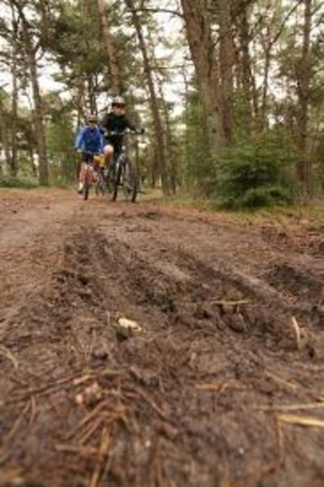
Ook al is de route kort, er zitten een paar pittige klimmen en technische stukken in.

Is ook te combineren met een 30km blauwe route.

Tour map and elevation profile

  • Open Street Map
  • Google
Minimum height 54 m Maximum height 114 m Detailed view

More about the tour author

dutchrun
Member since 2012

Send private message

Comments

GPS tracks

Trackpoints
  • GPX / Garmin Map Source (gpx) download
  • TCX / Garmin Training Center® (tcx) download
  • CRS / Garmin Training Center® (crs) download
  • Google Earth (kml) download
  • G7ToWin (g7t) download
  • TTQV (trk) download
  • Overlay (ovl) download
  • Fugawi (txt) download
  • Kompass (DAV) Track (tk) download
  • Track data sheet (pdf) download
  • Original file of the author (gpx) download

More about the tour author

dutchrun
Member since 2012

Send private message
Share track
Add to my favorites
Remove from my favorites
Edit tags
My score
Rate
Track: Zwarte route Hellendoorn
Type: Mountain bike
Distance: 12,5 km
Evaluated on:
Duration:
Day(s)
Hour(s)
Minute(s)
Score: Landscape Fun factor Fitness Technique