


Los geht´s am Rathaus in Richtung Cafe Polite. Vom Cafe Polite geht es links über einen Höhenweg mit Blick nach Bad Hindelang. Nachdem wir wieder Höhe vernichtet haben und den Zillenbach überquert haben geht es leicht steigend zum Ortsteil Gailenberg. An der Gailenberger Stube rechts vorbei laufen wir bis zur Abzweigung in den Schachentobel. Nur noch ein kleiner Anstieg und wir haben den höchsten Punkt erreicht. Nun heist es gemütlich "runterrollen". Durch den Ortsteil Vorderhindelang gehts entlang der Ostrach wieder zurück zum Ausgangspunkt.
Further information at
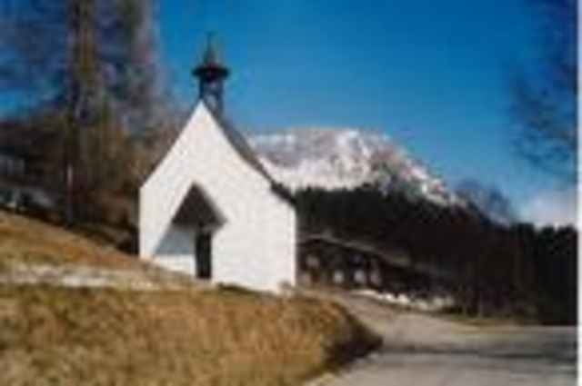
http://www.bad-hindelang.deTour gallery
Tour map and elevation profile
Minimum height 782 m
Maximum height 1021 m
More about the tour author

|
Comments

GPS tracks
Trackpoints-
GPX / Garmin Map Source (gpx) download
-
TCX / Garmin Training Center® (tcx) download
-
CRS / Garmin Training Center® (crs) download
-
Google Earth (kml) download
-
G7ToWin (g7t) download
-
TTQV (trk) download
-
Overlay (ovl) download
-
Fugawi (txt) download
-
Kompass (DAV) Track (tk) download
-
Track data sheet (pdf) download
-
Original file of the author (gpx) download
More about the tour author
|
|
Add to my favorites
Remove from my favorites
Edit tags
Open track
My score
Rate