Login

Forgot your login?

Cookies have to be accepted!
Your browser's cookie functionality is disabled. Please enable this functionality.

Not a member yet?

Register now
Login

Available for registred users only

Log in to use this feature.

Forgot your login?

Cookies have to be accepted!
Your browser's cookie functionality is disabled. Please enable this functionality.

Not a member yet?

Register now
Filter
Categories
Advanced filters
  • Distance (km)
  • Height
Save filters Reset filter

TrackRank

QRCode

Technical data

Distance73,2 km Height1400 m Way down1539 m Duration05:00 h:m Date14.08.2012
Scores Author Landscape Fun factor Fitness Technique

Statistics

196 Views Scores 21 Downloads Average
Rate
  • Track data sheet
  • Directions
  • Downloads

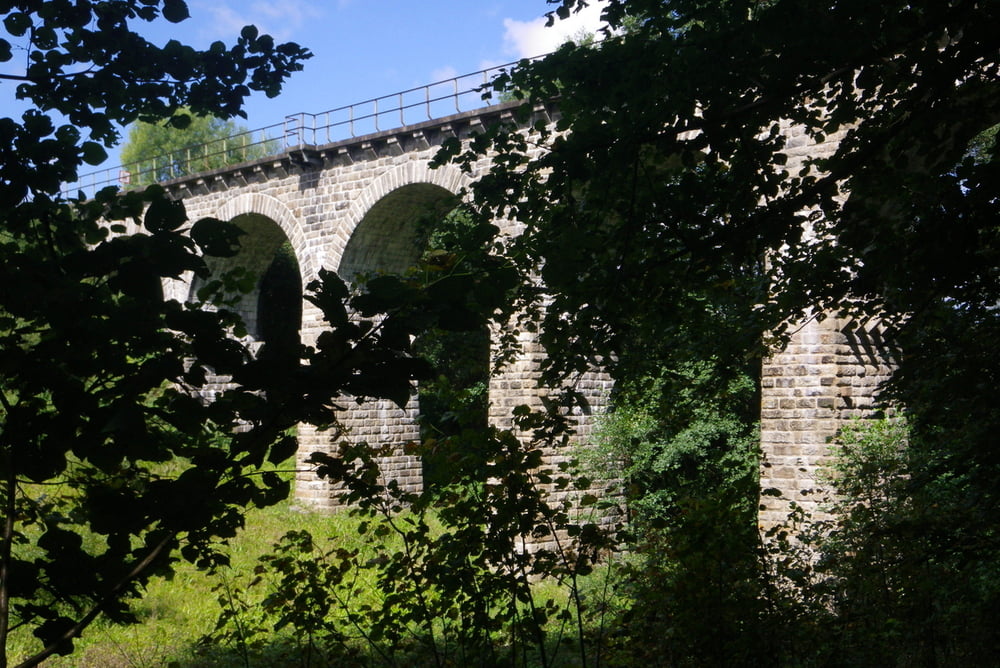
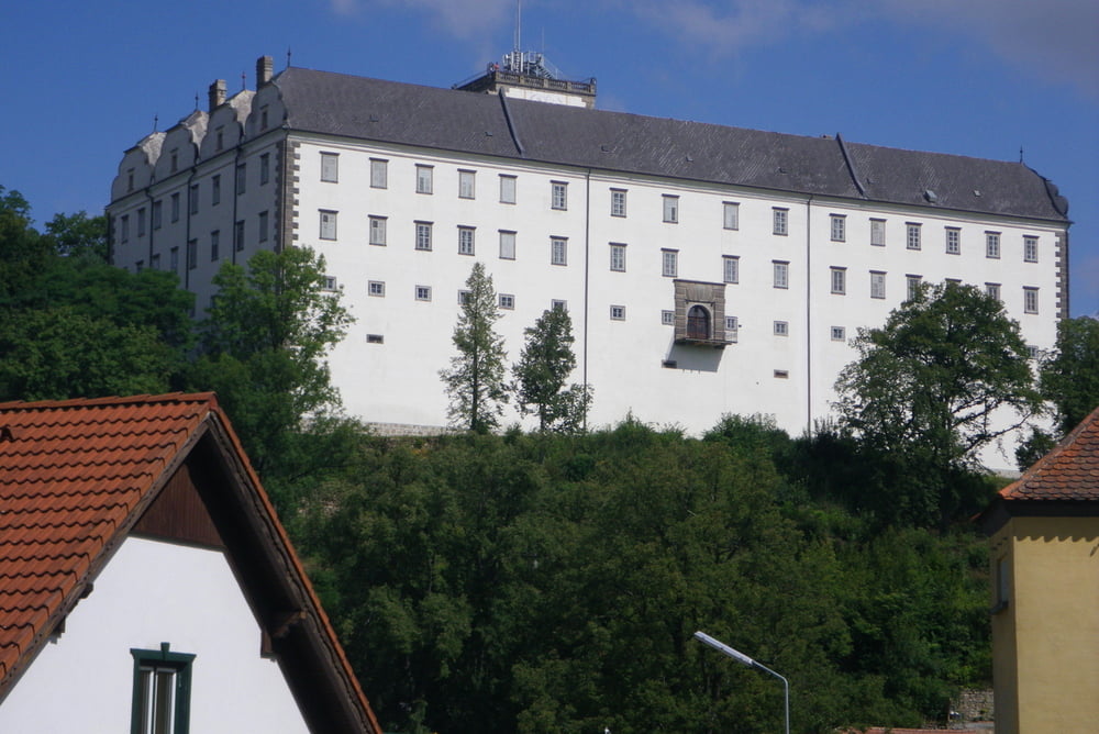
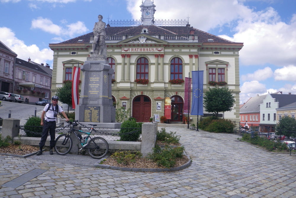
Ich bin die Tour 15600 nachgefahren, die ansich landschaftlich sehr schön, aber leider in der falschen Kategorie zu finden ist. Ich habe sie deswegen als Trekking-Bike-Tour empfohlen, weil der enorm hohe Asphalt-Anteil die Stollen des MTBs beleidigt.

Start/Ziel wäre der Frauenwieserteich, wo ausreichend Parkplatz zur Verfügung steht. Die Abfahrt nach Weitersfelden dient nur der Rückkehr zur Familie.

Tour gallery

Tour map and elevation profile

  • Open Street Map
  • Google
Minimum height 561 m Maximum height 1001 m Detailed view

More about the tour author

rjkas
Member since 2003

Send private message

Comments

GPS tracks

Trackpoints
  • GPX / Garmin Map Source (gpx) download
  • TCX / Garmin Training Center® (tcx) download
  • CRS / Garmin Training Center® (crs) download
  • Google Earth (kml) download
  • G7ToWin (g7t) download
  • TTQV (trk) download
  • Overlay (ovl) download
  • Fugawi (txt) download
  • Kompass (DAV) Track (tk) download
  • Track data sheet (pdf) download
  • Original file of the author (tcx) download

More about the tour author

rjkas
Member since 2003

Send private message
Share track
Add to my favorites
Remove from my favorites
Edit tags
My score
Rate
Track: Frauenwieserteich - Weitra und zurück
Type: Trekkingbike
Distance: 73,2 km
Evaluated on:
Duration:
Day(s)
Hour(s)
Minute(s)
Score: Landscape Fun factor Fitness Technique