

Für mich eine der schönsten, jedoch aber auch konditionell anstrengende Tour.
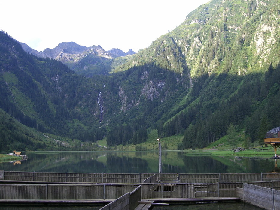
Ausgangspunkt: Parkplatz am Steirischen Bodensee, 1.130m
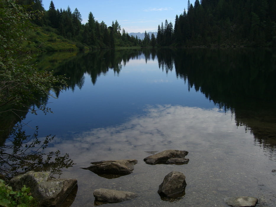
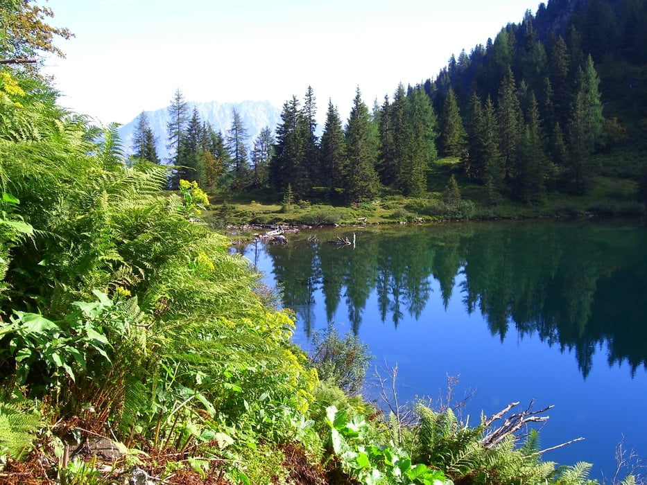
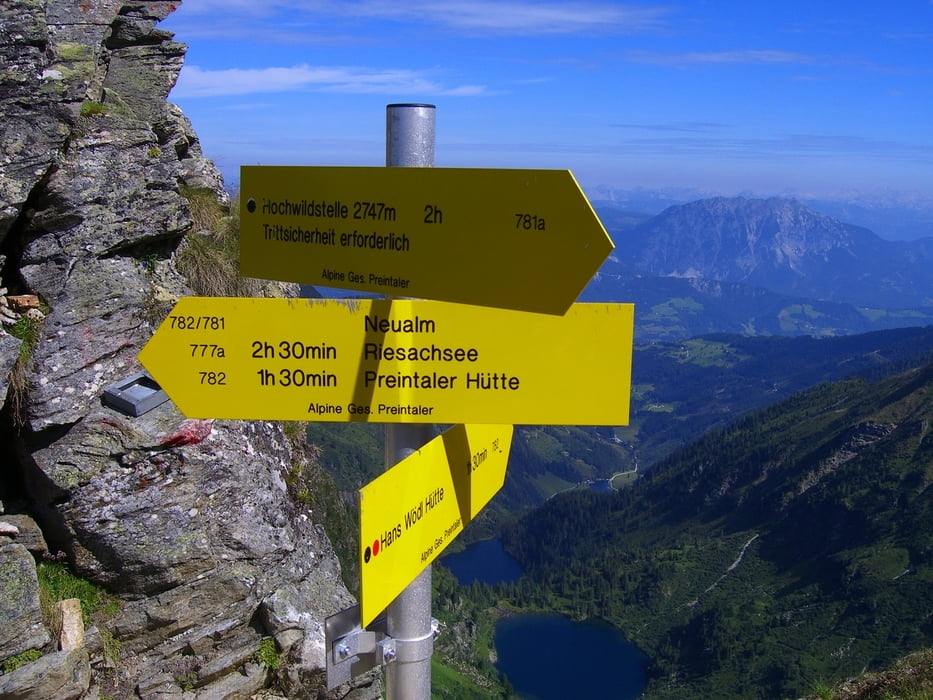
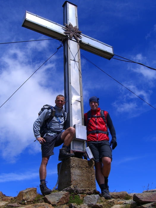
Nach 1,2 km erreicht man den Bodensee (1.150m), die Hans Wödl Hütte & Hüttensee (1.500m), Obersee (1.700m). Anschliessend führt der Weg lange und steil bergauf, bis zur Neualmscharte (2.347m), Querung des Kamms der Kleinen Wildstelle (2.557m) bis man zum Anstieg der Hochwildstelle gelangt, ab hier führt eine leichte Kletterei (Stellen bis I) am NW-Grat hoch bis zum Gipfel (2.747m). Meine Empfehlung, nur bei trockenem Felsen!!!
Tour gallery
Tour map and elevation profile
Minimum height 1124 m
Maximum height 2747 m
More about the tour author
|
|
schoyswo |
Comments

B146, zwischen Aich und Haus im Ennstal der Markierung "Bodensee" folgen. Hier führt jeweils eine Mautstraße bis zum Parkplatz Seewigtal hoch.
GPS tracks
Trackpoints-
GPX / Garmin Map Source (gpx) download
-
TCX / Garmin Training Center® (tcx) download
-
CRS / Garmin Training Center® (crs) download
-
Google Earth (kml) download
-
G7ToWin (g7t) download
-
TTQV (trk) download
-
Overlay (ovl) download
-
Fugawi (txt) download
-
Kompass (DAV) Track (tk) download
-
Track data sheet (pdf) download
-
Original file of the author (gpx) download
More about the tour author
|
|
schoyswo |
Add to my favorites
Remove from my favorites
Edit tags
Open track
My score
Rate