


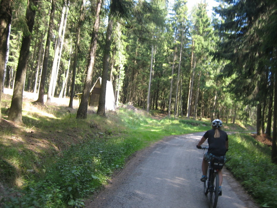
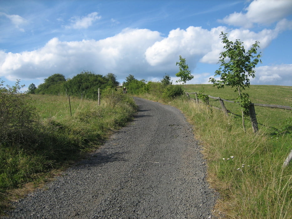
Abwechslungsreiche Tour, die meist auf Waldwegen und auch Trails gefahren wurde. Schon nach wenigen Kilometer auf Asphalt wurde in den Wald eingetaucht. Auf bekannten Wegen ging es nach Vernerov um sich im dortigen Biergarten zu erfrischen. Auf tollen Pfaden ging es mit kurzen Unterbrechungen bis nach Ostroh, an einigen Teichen vorbei nach Liba um im Biergarten noch ein Bier zu genießen.
Tour gallery


Tour map and elevation profile
Minimum height 452 m
Maximum height 725 m
More about the tour author
|
|
Bernd-Ghostbiker |
Comments

Startpunkt ist Thiersheim. Anreise per PKW: aus Richtung Regensburg - Weiden A 93 in Richtung Berlin Ausfahrt Thiersheim aus Richtung Nürnberg - Bayreuth A 9 in Richtung Berlin Ausfahrt Bad Berneck und dann durch das Fichtelgebirge über Tröstau, Wunsiedel, Marktredwitz nach Thiersheim oder Ausfahrt Gefrees über Weißenstadt, Röslau, Bernstein nach Thiersheim
GPS tracks
Trackpoints-
GPX / Garmin Map Source (gpx) download
-
TCX / Garmin Training Center® (tcx) download
-
CRS / Garmin Training Center® (crs) download
-
Google Earth (kml) download
-
G7ToWin (g7t) download
-
TTQV (trk) download
-
Overlay (ovl) download
-
Fugawi (txt) download
-
Kompass (DAV) Track (tk) download
-
Track data sheet (pdf) download
-
Original file of the author (gpx) download
More about the tour author
|
|
Bernd-Ghostbiker |
Add to my favorites
Remove from my favorites
Edit tags
Open track
My score
Rate