Login

Forgot your login?

Cookies have to be accepted!
Your browser's cookie functionality is disabled. Please enable this functionality.

Not a member yet?

Register now
Login

Available for registred users only

Log in to use this feature.

Forgot your login?

Cookies have to be accepted!
Your browser's cookie functionality is disabled. Please enable this functionality.

Not a member yet?

Register now
Filter
Categories
Advanced filters
  • Distance (km)
  • Height
Save filters Reset filter

TrackRank

QRCode

Technical data

Distance60,2 km Height1995 m Way down2014 m Duration06:25 h:m Date17.08.2012
Scores Author Landscape Fun factor Fitness Technique

Statistics

418 Views Scores 140 Downloads Average
Rate
  • Track data sheet
  • Directions
  • Downloads
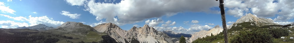
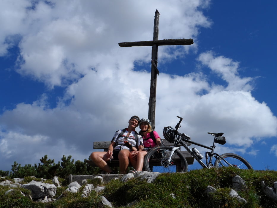
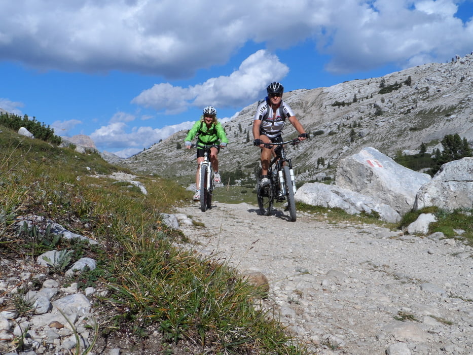
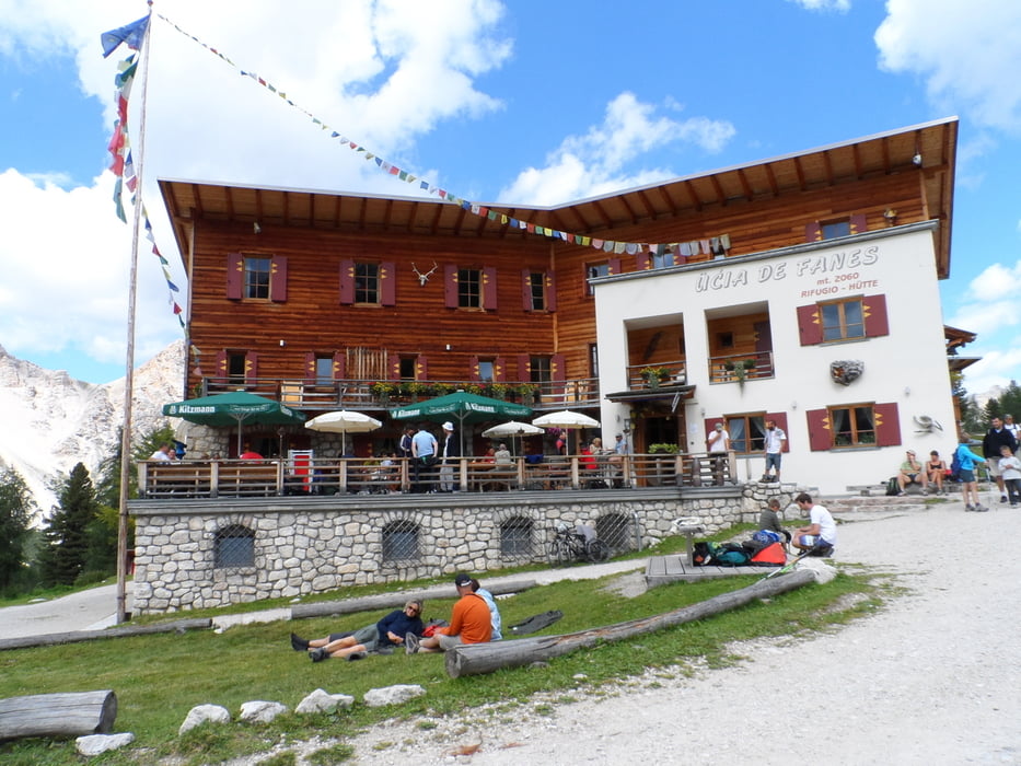
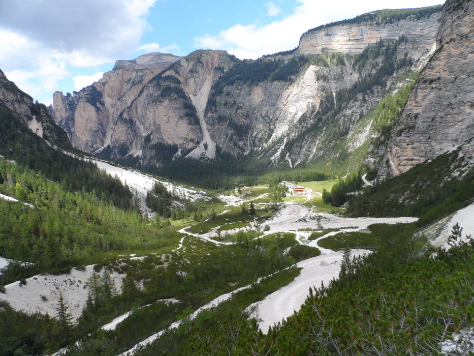
Die Tour beginnt in Badia Abtei beim Hotel Teresa und geht rund um den Fanes im Uhrzeigersinn.Sie beinhaltet alles was ein Mountainbiker sehen und fahren will.Das Panorama ist zeitweise wie gezeichnet.Man muß es gesehen und gefahren haben,man kann es nicht beschreiben..........

Tour gallery

Tour map and elevation profile

  • Open Street Map
  • Google
Minimum height 1253 m Maximum height 2173 m Detailed view

More about the tour author

plazo100
Member since 2009

Send private message

Comments

GPS tracks

Trackpoints
  • GPX / Garmin Map Source (gpx) download
  • TCX / Garmin Training Center® (tcx) download
  • CRS / Garmin Training Center® (crs) download
  • Google Earth (kml) download
  • G7ToWin (g7t) download
  • TTQV (trk) download
  • Overlay (ovl) download
  • Fugawi (txt) download
  • Kompass (DAV) Track (tk) download
  • Track data sheet (pdf) download
  • Original file of the author (gpx) download

More about the tour author

plazo100
Member since 2009

Send private message
Share track
Add to my favorites
Remove from my favorites
Edit tags
My score
Rate
Track: Umrundung des Fanes
Type: Mountain bike
Distance: 60,2 km
Evaluated on:
Duration:
Day(s)
Hour(s)
Minute(s)
Score: Landscape Fun factor Fitness Technique