
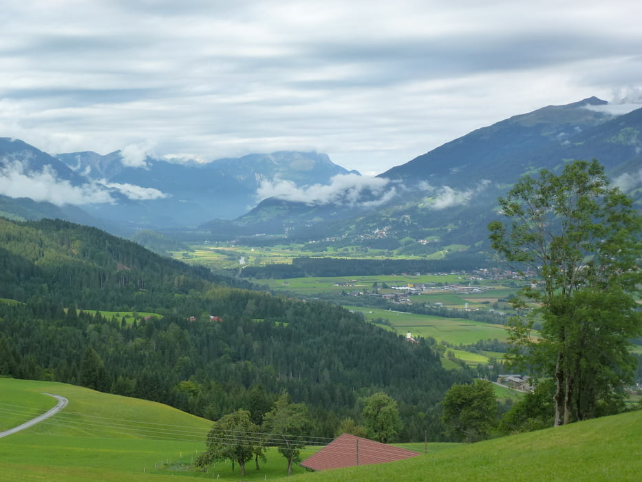

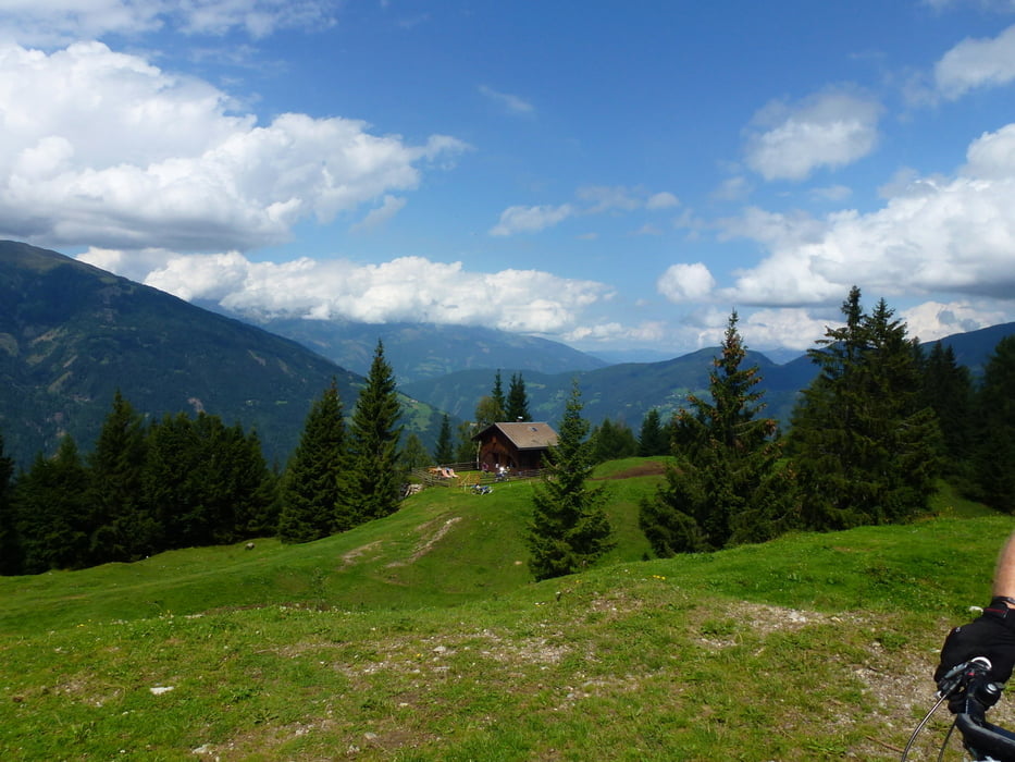
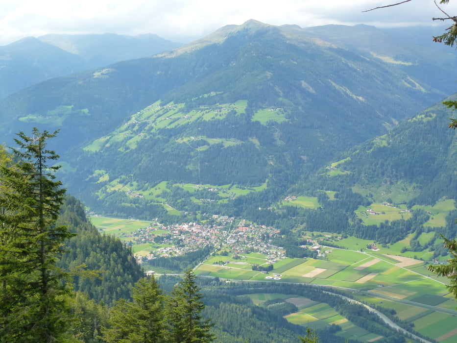
Start am Kreuzwirt, dann geht es über einen Forstweg ins Drautal, Vorsicht am Bauernhof ein bellender Hund dann weiter ins schöne Drautal entlang der Drau, in Fellbach beginnt der lange Aufstieg zur Alm hinter dem Brunn, hier kann man eine schöne Rast einlegen und wieder Energie tanken, nach der Pause kommt nochmals ein Anstieg von ca 250 Hm, dann fährt man oberhalb des Drautals und hat eine tolle Aussicht auf diese. Zurück geht es dann zum Kreuzberg.
Viel Spaß
Tour gallery
Tour map and elevation profile
Minimum height 600 m
Maximum height 1519 m
More about the tour author

|
jmb |
Comments

Start Punkt war bei uns der Kruzwirt auf dem Kreuzberg
GPS tracks
Trackpoints-
GPX / Garmin Map Source (gpx) download
-
TCX / Garmin Training Center® (tcx) download
-
CRS / Garmin Training Center® (crs) download
-
Google Earth (kml) download
-
G7ToWin (g7t) download
-
TTQV (trk) download
-
Overlay (ovl) download
-
Fugawi (txt) download
-
Kompass (DAV) Track (tk) download
-
Track data sheet (pdf) download
-
Original file of the author (gpx) download
More about the tour author
|
|
jmb |
Add to my favorites
Remove from my favorites
Edit tags
Open track
My score
Rate