


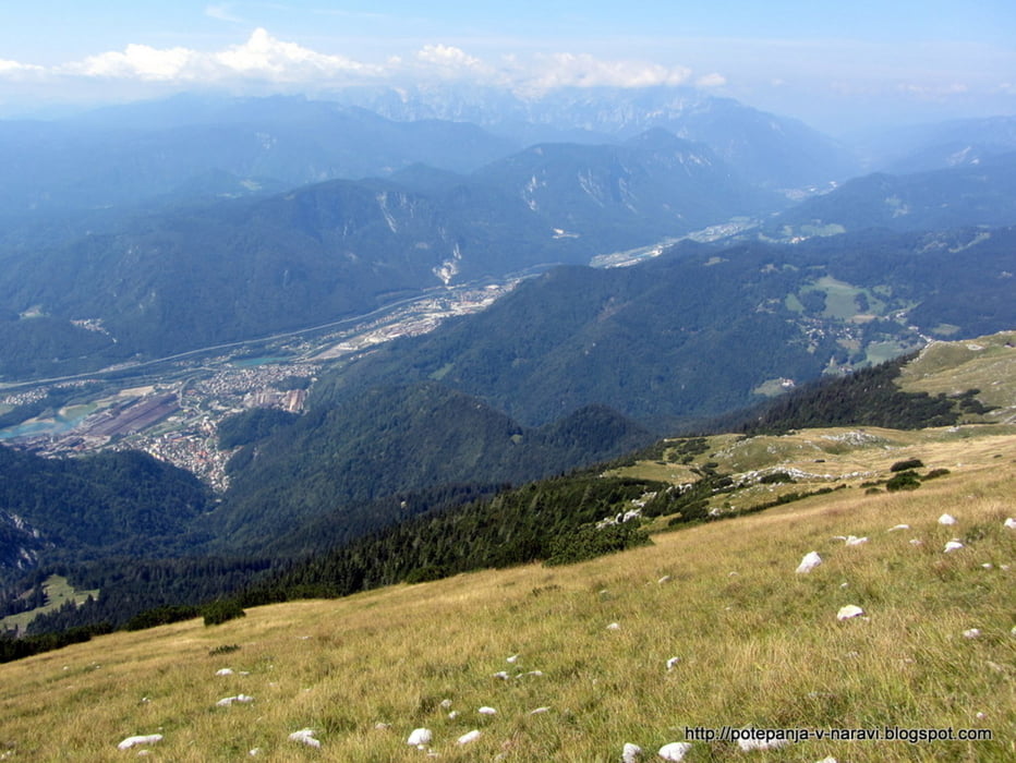
Vzpon na Vajnež, najvišji vrh Belščice in občine Jesenice, z Javorniškega rovta.
Further information at
http://potepanja-v-naravi.blogspot.com/2012/08/vajnez.htmlTour gallery

Tour map and elevation profile
Minimum height 951 m
Maximum height 2100 m
More about the tour author
|
|
ExAmigan |
Comments

Z glavne ceste skozi Jesenice zavijemo proti Koroški Beli, v naslednjem križišču pa levo proti Javorniškemu rovtu. V ostrem levem ovinku za začetkom vasi Javorniški rovt nadaljujemo naravnost na makadamsko cesto in parkiramo ob cesti tik pred domom Trilobit.
GPS tracks
Trackpoints-
GPX / Garmin Map Source (gpx) download
-
TCX / Garmin Training Center® (tcx) download
-
CRS / Garmin Training Center® (crs) download
-
Google Earth (kml) download
-
G7ToWin (g7t) download
-
TTQV (trk) download
-
Overlay (ovl) download
-
Fugawi (txt) download
-
Kompass (DAV) Track (tk) download
-
Track data sheet (pdf) download
-
Original file of the author (gpx) download
More about the tour author
|
|
ExAmigan |
Add to my favorites
Remove from my favorites
Edit tags
Open track
My score
Rate