

Ausgangspunkt:
Eisenerzer Ramsau, Parkplatz westlich vom Gh. Pichlerhof (1.010 m)
Aufsteig:
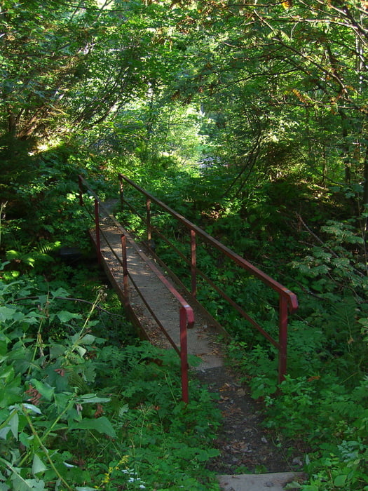
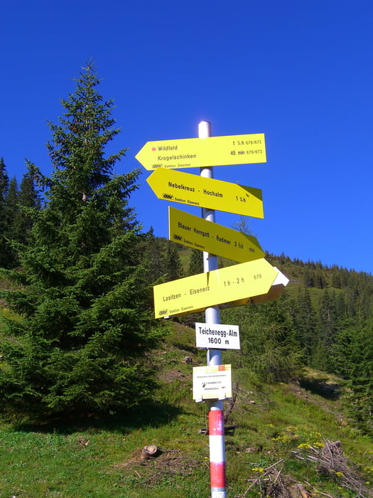
Anfangs der Forststraße folgen. Danach der Route zur Teicheggalm Richtung Wildfeld. Einige Höhenmeter (~100 hm) runter und rauf auf den Stadelstein. Etwas retour bis zur Wegtafel, ab dort runter über den Ochsenboden zur Hochalm auf ein Erfrischungsgetränk ;-). Es folgt kurz eine Forststraße und danach ein Waldweg bis zur Gabelung der Wege. Forststraße bis zum Parkplatz folgen.
Variante/n:
ab der Teicheneggalm könnte man Richtung Kragelschinken folgen, von dort auf das Wildfeld, weiter auf den Stadelstein und danach noch unterhalb des Schwarzenstein den Weg folgen (nicht markiert) und entlang dem Nordgrat aufsteigen (kleine Kletterei). Hinab über die Hochalm retour zum Parkplatz.
Tour gallery
Tour map and elevation profile
Minimum height 913 m
Maximum height 2075 m
More about the tour author
|
|
schoyswo |
Comments

Ausgangspunkt:
Eisenerzer Ramsau, Parkplatz westlich vom Gh. Pichlerhof (1.010 m)
GPS tracks
Trackpoints-
GPX / Garmin Map Source (gpx) download
-
TCX / Garmin Training Center® (tcx) download
-
CRS / Garmin Training Center® (crs) download
-
Google Earth (kml) download
-
G7ToWin (g7t) download
-
TTQV (trk) download
-
Overlay (ovl) download
-
Fugawi (txt) download
-
Kompass (DAV) Track (tk) download
-
Track data sheet (pdf) download
-
Original file of the author (gpx) download
More about the tour author
|
|
schoyswo |
Add to my favorites
Remove from my favorites
Edit tags
Open track
My score
Rate