


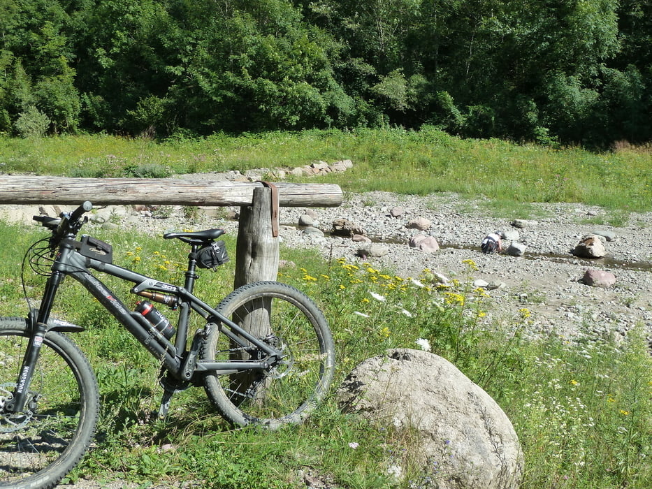
Schöne Runde Richtung Bedollo und über das Fersental zurück.
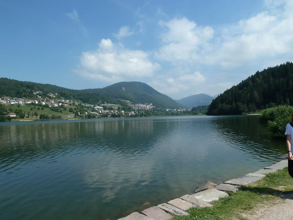
Von Levico geht es am Uferweg (Fahrverbot kann man ignorieren) Richtung Pergine.
Durch Pergine durch und auf der SP66 mit leichter Steigung (5% - 9%) bergauf.
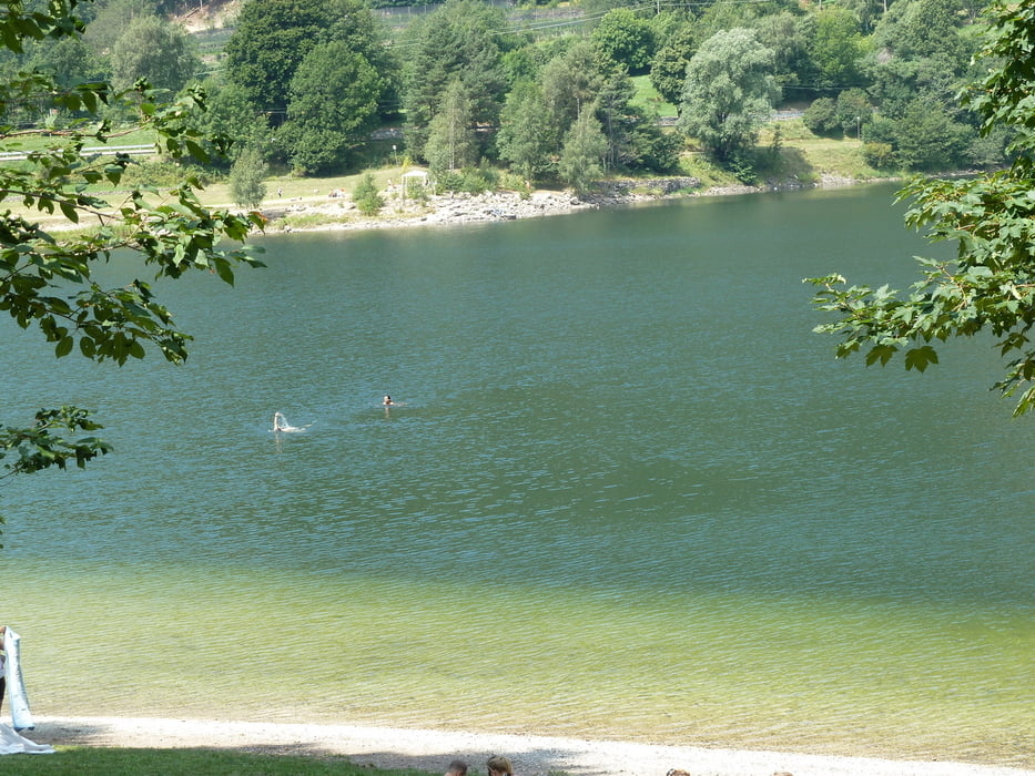
Nach der 2ten Kehre kann man die SP66 rechts verlassen und fährt dann auf einer schattigen, sehr wenig befahrenen Teerstraße nach Faida und weiter nach Baselge de Pine. Von dort führt ein malerischer Uferweg an der Ostseite der Seen Lago di Serraia und Lago della Piazze vorbei. Nun beginnt ein 400 Hm Anstieg auf den Passo Redebus. Mäßig steil auf Teer. Am Pass empfehlenswerte Einkehrmöglichkeit. Danach Abfaht nach Palu und weiter im Fersental zum Ausgangspunkt.
Tour gallery
Tour map and elevation profile
Minimum height 440 m
Maximum height 1459 m
More about the tour author
|
|
MegaGuenter |
Comments
GPS tracks
Trackpoints-
GPX / Garmin Map Source (gpx) download
-
TCX / Garmin Training Center® (tcx) download
-
CRS / Garmin Training Center® (crs) download
-
Google Earth (kml) download
-
G7ToWin (g7t) download
-
TTQV (trk) download
-
Overlay (ovl) download
-
Fugawi (txt) download
-
Kompass (DAV) Track (tk) download
-
Track data sheet (pdf) download
-
Original file of the author (gpx) download
More about the tour author
|
|
MegaGuenter |
Add to my favorites
Remove from my favorites
Edit tags
Open track
My score
Rate
Bärenstarke Tour!!!